Small airport · Australia

Warraber Island AirportYWBS
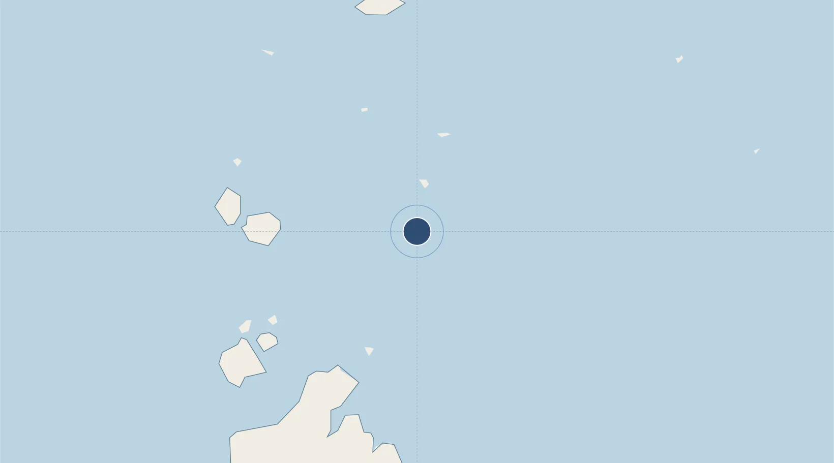
-10.2083°, 142.8250°
2,362 ft
Longest runway
1
Runways
3 ft
Elevation

Runway & Layout

Warraber Island Airport runway & taxiway layout
Runway & taxiway layout — OpenStreetMap (ODbL) / OurAirports

Radio Frequencies

CTAF
120.3 MHz
MISC
125.7 MHz
OurAirports

Runways · 1

RunwayDimensions SurfaceTrue headingLit
12/30 2,362 × —ft N
OurAirports

Airport Specifications

IATA code
SYU
OurAirports
ICAO code
YWBS
OurAirports
Airport class
Small airport
OurAirports
Scheduled service
Yes
OurAirports
Runway surface
N
OurAirports
Served city
Sue Islet
OurAirports

Location

Location of YWBS
Natural Earth 10m (public domain) · Queensland · YWBS · -10.21, 142.82GoogleOSMYandex

Nearby Logistics Neighbours

Airports
  1. 1Coconut Island Airport32 km
  2. 2Yam Island Airport35 km
  3. 3Kubin Island Airport66 km
  4. 4Badu Island Airport72 km
  5. 5Horn Island Airport72 km
Nearest neighbours — logibook spatial index (haversine) over the source coordinates
Cities
  1. 1Dalrymple Islet85 km
  2. 2Saibai95 km
  3. 3Booby Island109 km
  4. 4Boigu Island124 km
  5. 5Skardon River193 km
Nearest neighbours — logibook spatial index (haversine) over the source coordinates
Ports
  1. 1Thursday Island79 km
  2. 2Daru133 km
  3. 3Weipa293 km
  4. 4Kumul303 km
  5. 5Merauke330 km
Nearest neighbours — logibook spatial index (haversine) over the source coordinates
Trade Zones
  1. 1Ihu Special Economic Zone381 km
  2. 2Western Province Special Economic Zone473 km
  3. 3Paga Hill Estate Special Economic Zone480 km
  4. 4Morobe Agricultural Special Economic Zone514 km
  5. 5Nadzab (Momase) Special Economic Zone594 km
Nearest neighbours — logibook spatial index (haversine) over the source coordinates
DatabookThe Record of Consolidated Knowledge
Australia beyond logistics?
Browse databook

All Sources

AirportsOurAirports
Public domain
Portsthe NGA World Port Index
Public domain (US gov)
LocationsUN/LOCODE
UN/LOCODE — free
Trade Zonesthe World Bank SEZ database
CC BY 4.0
Trade ZonesOpen Zone Map
CC BY
InfrastructureOpenStreetMap
ODbL 1.0
← Australia airports