Medium airport · Australia

Dirranbandi AirportYDBI
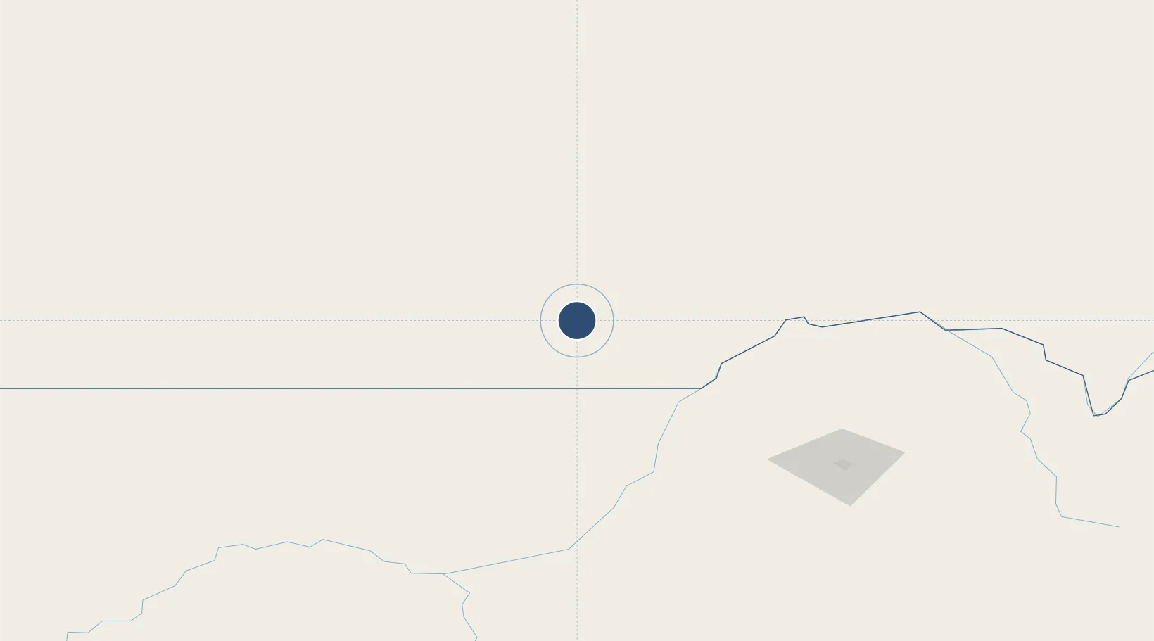
-28.5879°, 148.2172°
3,993 ft
Longest runway
1
Runways
567 ft
Elevation

Runway & Layout

Dirranbandi Airport runway & taxiway layout
Runway & taxiway layout — OpenStreetMap (ODbL) / OurAirports

Radio Frequencies

CTAF
126.7 MHz
FSS
118.95 MHz
BRISBANE CNTR
OurAirports

Runways · 1

RunwayDimensions SurfaceTrue headingLit
01/19 3,993 × 60ft Asphalt 021°
OurAirports

Airport Specifications

IATA code
DRN
OurAirports
ICAO code
YDBI
OurAirports
Airport class
Medium airport
OurAirports
Scheduled service
No
OurAirports
Runway surface
Asphalt
OurAirports

Location

Location of YDBI
Natural Earth 10m (public domain) · Queensland · YDBI · -28.59, 148.22GoogleOSMYandex

Nearby Logistics Neighbours

Airports
  1. 1St George Airport70 km
  2. 2Lightning Ridge Airport99 km
  3. 3Walgett Airport161 km
  4. 4Moree Airport188 km
  5. 5Brewarrina Airport206 km
Nearest neighbours — logibook spatial index (haversine) over the source coordinates
Cities
  1. 1Burren Junction183 km
  2. 2Condamine263 km
  3. 3Wattle Park275 km
  4. 4Columboola297 km
  5. 5Clontarf302 km
Nearest neighbours — logibook spatial index (haversine) over the source coordinates
Ports
  1. 1Brisbane489 km
  2. 2Ballina523 km
  3. 3Bundaberg583 km
  4. 4Newcastle590 km
  5. 5Gladstone607 km
Nearest neighbours — logibook spatial index (haversine) over the source coordinates
Trade Zones
  1. 1Latrobe Valley Economic Growth Zone1086 km
  2. 2Paga Hill Estate Special Economic Zone2127 km
  3. 3Ihu Special Economic Zone2320 km
  4. 4Vanuatu Economic Development Zone2429 km
  5. 5Ledger Atlas Special Economic Zone2445 km
Nearest neighbours — logibook spatial index (haversine) over the source coordinates
DatabookThe Record of Consolidated Knowledge
Australia beyond logistics?
Browse databook

All Sources

AirportsOurAirports
Public domain
Portsthe NGA World Port Index
Public domain (US gov)
LocationsUN/LOCODE
UN/LOCODE — free
Trade Zonesthe World Bank SEZ database
CC BY 4.0
Trade ZonesOpen Zone Map
CC BY
InfrastructureOpenStreetMap
ODbL 1.0
← Australia airports