Medium airport · Australia

Broken Hill AirportYBHI
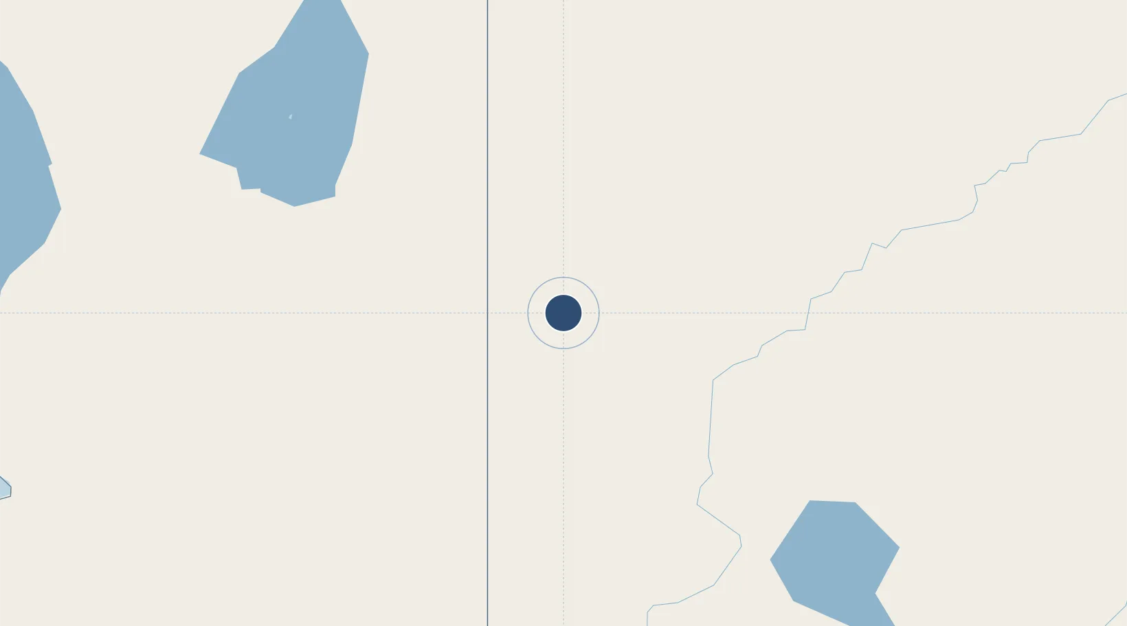
-32.0014°, 141.4720°
8,251 ft
Longest runway
2
Runways
958 ft
Elevation

Runway & Layout

Broken Hill Airport runway & taxiway layout
Runway & taxiway layout — OpenStreetMap (ODbL) / OurAirports

Radio Frequencies

CTAF
126.7 MHz
FSS
122.6 MHz
MELBOURNE CNTR
OurAirports

Navaids

BHI VOR-DME Broken Hill 114.20 MHz
BHI NDB Broken Hill 332 kHz
OurAirports

Runways · 2

RunwayDimensions SurfaceTrue headingLit
05/23 8,251 × 98ft Asphalt 056°
14/32 3,281 × 98ft Sand 143°
OurAirports

Airport Specifications

IATA code
BHQ
OurAirports
ICAO code
YBHI
OurAirports
Airport class
Medium airport
OurAirports
Scheduled service
Yes
OurAirports
Runway surface
Asphalt
OurAirports
Served city
Broken Hill
OurAirports

Location

Location of YBHI
Natural Earth 10m (public domain) · New South Wales · YBHI · -32.00, 141.47GoogleOSMYandex

Nearby Logistics Neighbours

Airports
  1. 1Mildura Airport254 km
  2. 2Renmark Airport255 km
  3. 3Tibooburra Airport289 km
  4. 4Leigh Creek Airport329 km
  5. 5Balranald Airport351 km
Nearest neighbours — logibook spatial index (haversine) over the source coordinates
Cities
  1. 1Irymple258 km
  2. 2Moorook274 km
  3. 3Andrews319 km
  4. 4Mindarie334 km
  5. 5Clare337 km
Nearest neighbours — logibook spatial index (haversine) over the source coordinates
Ports
  1. 1Port Pirie349 km
  2. 2Port Bonython365 km
  3. 3Whyalla382 km
  4. 4Wallaroo419 km
  5. 5Port Adelaide420 km
Nearest neighbours — logibook spatial index (haversine) over the source coordinates
Trade Zones
  1. 1Latrobe Valley Economic Growth Zone825 km
  2. 2Paga Hill Estate Special Economic Zone2571 km
  3. 3Ihu Special Economic Zone2711 km
  4. 4Western Province Special Economic Zone2793 km
  5. 5Morobe Agricultural Special Economic Zone2854 km
Nearest neighbours — logibook spatial index (haversine) over the source coordinates
DatabookThe Record of Consolidated Knowledge
Australia beyond logistics?
Browse databook

All Sources

AirportsOurAirports
Public domain
Portsthe NGA World Port Index
Public domain (US gov)
LocationsUN/LOCODE
UN/LOCODE — free
Trade Zonesthe World Bank SEZ database
CC BY 4.0
Trade ZonesOpen Zone Map
CC BY
InfrastructureOpenStreetMap
ODbL 1.0
← Australia airports