Medium airport · Australia
Tindal AirportYPTN
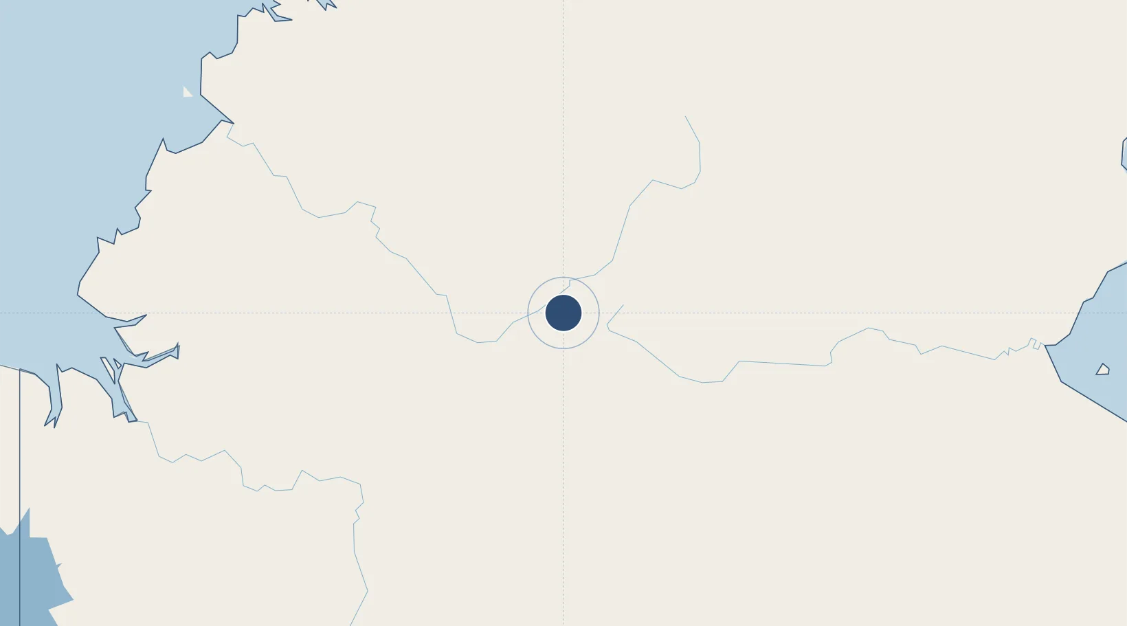
-14.5211°, 132.3780°
9,003 ft
Longest runway
1
Runways
443 ft
Elevation
Runway & Layout

Radio Frequencies
ATIS
112.3 MHz
TWR
119.7 MHz
GND
135.85 MHz
CLD
128.1 MHz
CLNC DEL
APP
120.95 MHz
CTAF
119.7 MHz
FSS
122.6 MHz
BRISBANE CNTR
Navaids
TDL TACAN Tindal 112.30 MHz
TN VOR Tindal 112.30 MHz
TN NDB Tindal 356 kHz
Runways · 1
| Runway | Dimensions | Surface | True heading | Lit |
|---|---|---|---|---|
| 14/32 | 9,003 × 150ft | Asphalt | 139° | ✓ |
Airport Specifications
IATA code
KTR
ICAO code
YPTN
Airport class
Medium airport
Scheduled service
No
Runway surface
Asphalt
Location
Nearby Logistics Neighbours
Airports
- 1Nackeroo Airfield236 km
- 2Ngukurr Airport256 km
- 3Darwin International Airport / RAAF Darwin285 km
- 4Port Keats Airport308 km
- 5Maningrida Airport340 km
Cities
- 1Katherine14 km
- 2Darwin279 km
- 3Winnellie283 km
- 4Palmerston283 km
- 5Blacktip Terminal326 km
Ports
- 1Darwin282 km
- 2Milner Bay441 km
- 3Wyndham471 km
- 4Gove534 km
- 5Saumlaki736 km
Trade Zones
DatabookThe Record of Consolidated Knowledge
Australia beyond logistics?