Medium airport · Australia

Glen Innes AirportYGLI
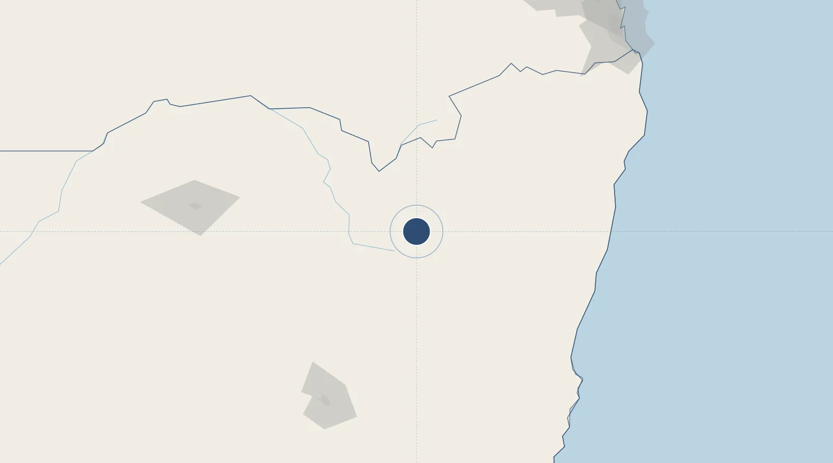
-29.6760°, 151.6912°
5,499 ft
Longest runway
2
Runways
3,433 ft
Elevation

Runway & Layout

Glen Innes Airport runway & taxiway layout
Runway & taxiway layout — OpenStreetMap (ODbL) / OurAirports

Radio Frequencies

CTAF
126.7 MHz
FSS
134.2 MHz
BRISBANE CNTR
OurAirports

Navaids

GLI NDB Glen Innes 212 kHz
OurAirports

Runways · 2

RunwayDimensions SurfaceTrue headingLit
10/28 5,499 × 98ft Gravel 106°
14/32 4,915 × 98ft Asphalt 154°
OurAirports

Airport Specifications

IATA code
GLI
OurAirports
ICAO code
YGLI
OurAirports
Airport class
Medium airport
OurAirports
Scheduled service
No
OurAirports
Runway surface
Gravel
OurAirports
Served city
Glen Innes
OurAirports

Location

Location of YGLI
Natural Earth 10m (public domain) · New South Wales · YGLI · -29.68, 151.69GoogleOSMYandex

Nearby Logistics Neighbours

Airports
  1. 1Inverell Airport58 km
  2. 2Armidale Airport95 km
  3. 3Clarence Valley Regional Airport130 km
  4. 4Coffs Harbour Airport155 km
  5. 5Tamworth Airport176 km
Nearest neighbours — logibook spatial index (haversine) over the source coordinates
Cities
  1. 1Sylvania Waters160 km
  2. 2Clontarf196 km
  3. 3Binna Burra206 km
  4. 4Bangalow209 km
  5. 5Werris Creek212 km
Nearest neighbours — logibook spatial index (haversine) over the source coordinates
Ports
  1. 1Ballina203 km
  2. 2Brisbane278 km
  3. 3Newcastle360 km
  4. 4Sydney468 km
  5. 5Botany Bay483 km
Nearest neighbours — logibook spatial index (haversine) over the source coordinates
Trade Zones
  1. 1Latrobe Valley Economic Growth Zone1069 km
  2. 2Vanuatu Economic Development Zone2233 km
  3. 3Paga Hill Estate Special Economic Zone2295 km
  4. 4Tulagi Island Special Economic Zone2451 km
  5. 5Ihu Special Economic Zone2510 km
Nearest neighbours — logibook spatial index (haversine) over the source coordinates
DatabookThe Record of Consolidated Knowledge
Australia beyond logistics?
Browse databook

All Sources

AirportsOurAirports
Public domain
Portsthe NGA World Port Index
Public domain (US gov)
LocationsUN/LOCODE
UN/LOCODE — free
Trade Zonesthe World Bank SEZ database
CC BY 4.0
Trade ZonesOpen Zone Map
CC BY
InfrastructureOpenStreetMap
ODbL 1.0
← Australia airports