Transport Functions
Multimodal
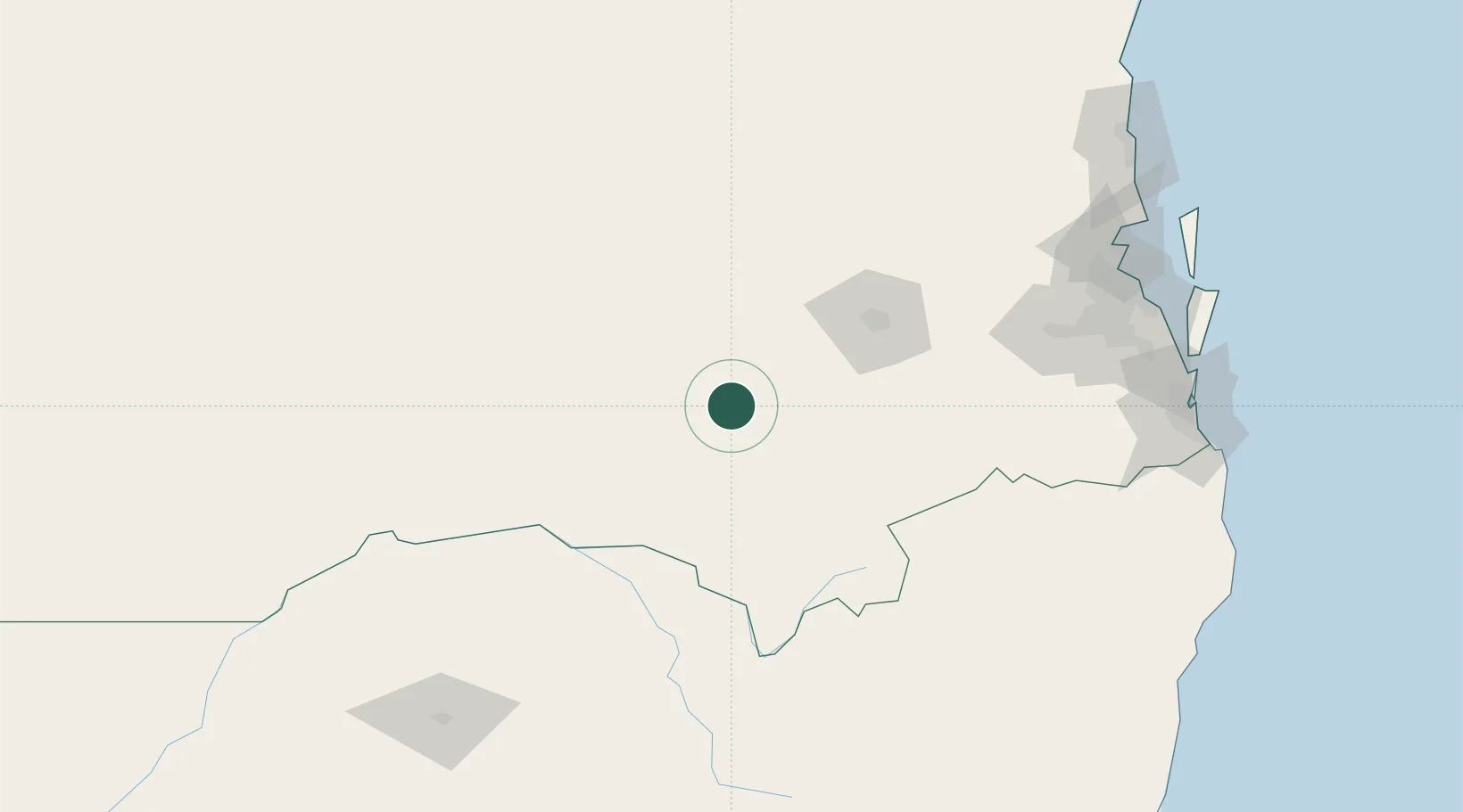
Hub Profile
Place type
Populated place
Region
Queensland
Population
25
Time zone
Australia/Brisbane
Elevation
484 m
Location
Nearby Logistics Neighbours
Cities
- 1Toowoomba City85 km
- 2Helidon101 km
- 3Grantham106 km
- 4Coominya142 km
- 5Condamine157 km
Airports
- 1Toowoomba Wellcamp Airport73 km
- 2Oakey Army Aviation Centre80 km
- 3Chinchilla Airport145 km
- 4RAAF Base Amberley152 km
- 5Kingaroy Airport166 km
Trade Zones
DatabookThe Record of Consolidated Knowledge
Australia beyond logistics?