Medium airport · Australia

Warracknabeal AirportYWKB
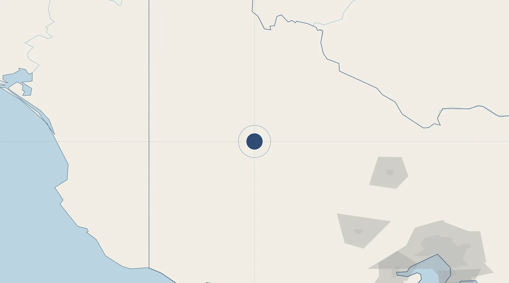
-36.3211°, 142.4190°
4,501 ft
Longest runway
2
Runways
397 ft
Elevation

Runway & Layout

Warracknabeal Airport runway & taxiway layout
Runway & taxiway layout — OpenStreetMap (ODbL) / OurAirports

Radio Frequencies

CTAF
126.7 MHz
FSS
125.8 MHz
MELBOURNE CNTR
OurAirports

Navaids

WKB NDB Warracknabeal 209 kHz
OurAirports

Runways · 2

RunwayDimensions SurfaceTrue headingLit
08/26 4,501 × 98ft Asphalt 086°
17/35 2,503 × 98ft Grass 176°
OurAirports

Airport Specifications

IATA code
WKB
OurAirports
ICAO code
YWKB
OurAirports
Airport class
Medium airport
OurAirports
Scheduled service
No
OurAirports
Runway surface
Asphalt
OurAirports

Location

Location of YWKB
Natural Earth 10m (public domain) · Victoria · YWKB · -36.32, 142.42GoogleOSMYandex

Nearby Logistics Neighbours

Airports
  1. 1Horsham Airport45 km
  2. 2Hopetoun Airport68 km
  3. 3Stawell Airport88 km
  4. 4Ararat Airport121 km
  5. 5Swan Hill Airport145 km
Nearest neighbours — logibook spatial index (haversine) over the source coordinates
Cities
  1. 1Great Western100 km
  2. 2Warrenmang112 km
  3. 3Boort119 km
  4. 4Willaura122 km
  5. 5Pyrenees127 km
Nearest neighbours — logibook spatial index (haversine) over the source coordinates
Ports
  1. 1Warrnambool231 km
  2. 2Portland235 km
  3. 3Geelong267 km
  4. 4Melbourne282 km
  5. 5Western Port336 km
Nearest neighbours — logibook spatial index (haversine) over the source coordinates
Trade Zones
  1. 1Latrobe Valley Economic Growth Zone411 km
  2. 2Paga Hill Estate Special Economic Zone3022 km
  3. 3Ihu Special Economic Zone3175 km
  4. 4Western Province Special Economic Zone3278 km
  5. 5Morobe Agricultural Special Economic Zone3317 km
Nearest neighbours — logibook spatial index (haversine) over the source coordinates
DatabookThe Record of Consolidated Knowledge
Australia beyond logistics?
Browse databook

All Sources

AirportsOurAirports
Public domain
Portsthe NGA World Port Index
Public domain (US gov)
LocationsUN/LOCODE
UN/LOCODE — free
Trade Zonesthe World Bank SEZ database
CC BY 4.0
Trade ZonesOpen Zone Map
CC BY
InfrastructureOpenStreetMap
ODbL 1.0
← Australia airports