Medium airport · Australia
Cleve AirportYCEE
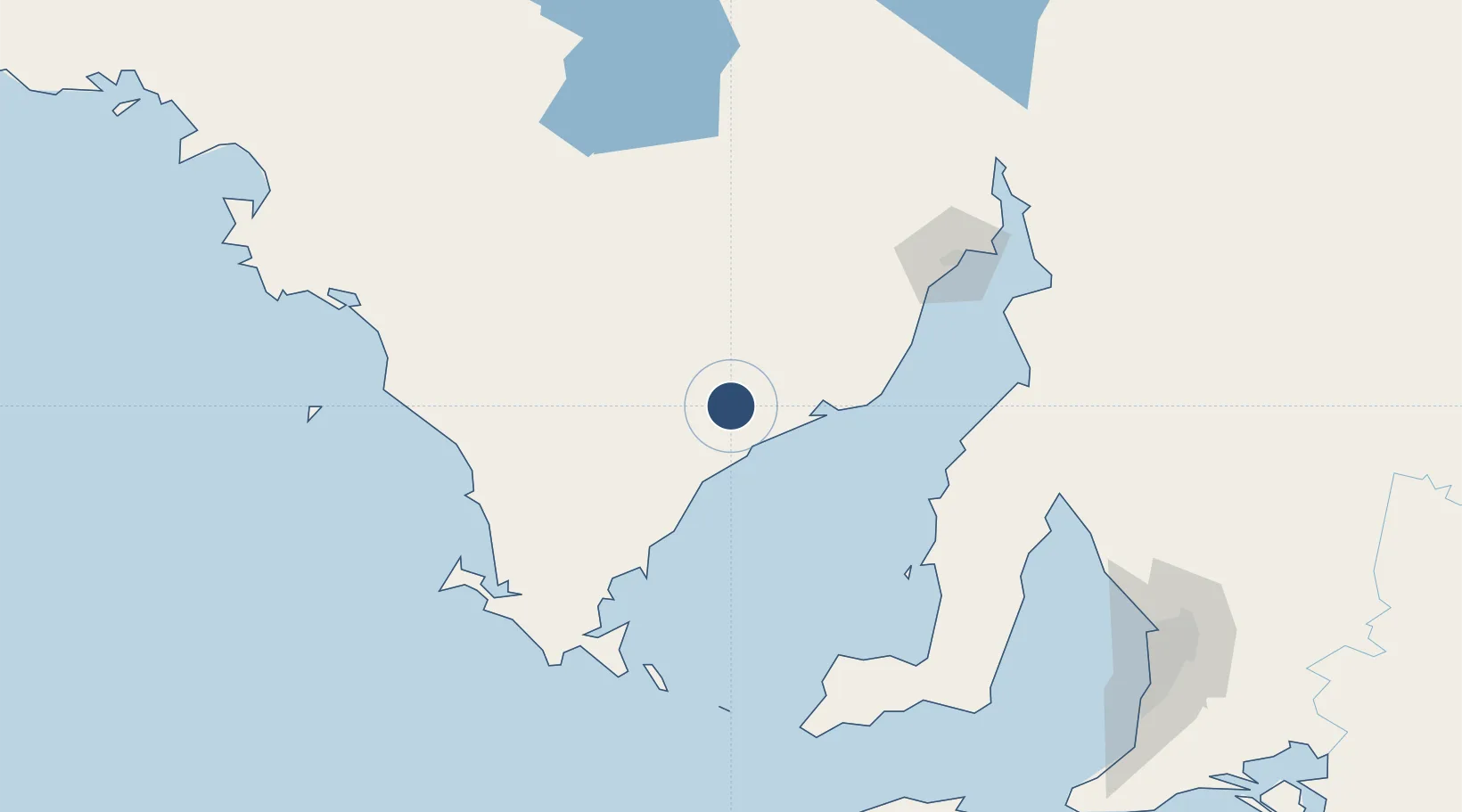
-33.7097°, 136.5050°
4,429 ft
Longest runway
2
Runways
589 ft
Elevation
Runway & Layout

Radio Frequencies
CTAF
126.7 MHz
CTAF/UNICOM
FSS
125.9 MHz
MELBOURNE CNTR
Runways · 2
| Runway | Dimensions | Surface | True heading | Lit |
|---|---|---|---|---|
| 08/26 | 4,429 × 59ft | Asphalt | 090° | ✓ |
| 18/36 | 2,936 × 59ft | Grass | 182° | ✓ |
Airport Specifications
IATA code
CVC
ICAO code
YCEE
Airport class
Medium airport
Scheduled service
No
Runway surface
Asphalt
Location
Nearby Logistics Neighbours
Airports
- 1Port Lincoln Airport115 km
- 2Whyalla Airport118 km
- 3Port Pirie Airport148 km
- 4Port Augusta Airport175 km
- 5RAAF Base Edinburgh224 km
Cities
- 1Lucky Bay38 km
- 2Port Kenny180 km
- 3Clare194 km
- 4Andrews197 km
- 5Twowells209 km
Ports
- 1Wallaroo106 km
- 2Whyalla125 km
- 3Port Lincoln127 km
- 4Port Bonython140 km
- 5Port Pirie152 km
DatabookThe Record of Consolidated Knowledge
Australia beyond logistics?