Transport Functions
Rail
Road
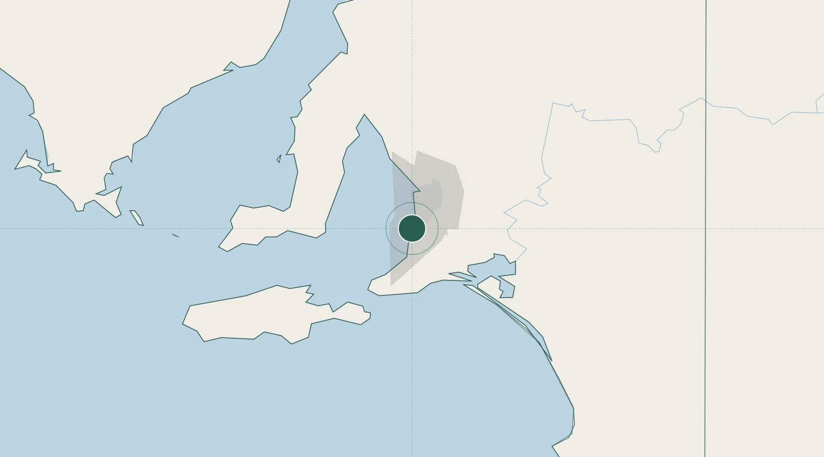
Hub Profile
Place type
Urban district
Region
South Australia
Population
22
Time zone
Australia/Adelaide
Elevation
93 m
Location
Nearby Logistics Neighbours
Cities
- 1Halletts Cove4 km
- 2Happy Valley5 km
- 3Oaklands Park5 km
- 4Bedford Park11 km
- 5Chandlers Hill11 km
Ports
- 1Port Adelaide28 km
- 2Port Giles66 km
- 3Klein Point67 km
- 4Ardrossan90 km
- 5Kingscote97 km
Airports
- 1Adelaide International Airport18 km
- 2RAAF Base Edinburgh46 km
- 3Kingscote Airport111 km
- 4Port Pirie Airport212 km
- 5Renmark Airport224 km
DatabookThe Record of Consolidated Knowledge
Australia beyond logistics?