Medium airport · Australia
Port Lincoln AirportYPLC
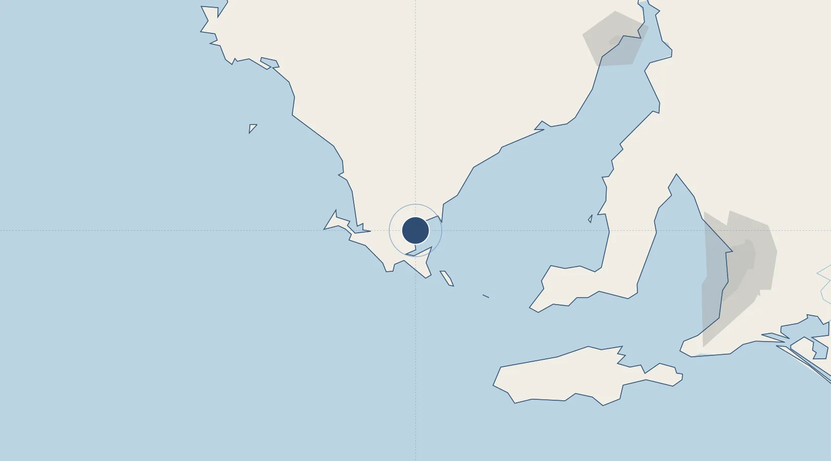
-34.6053°, 135.8800°
4,918 ft
Longest runway
3
Runways
36 ft
Elevation
Runway & Layout

Radio Frequencies
CTAF
126.7 MHz
FSS
125.9 MHz
MELBOURNE CNTR
Navaids
PLC NDB Port Lincoln 389 kHz
Runways · 3
| Runway | Dimensions | Surface | True heading | Lit |
|---|---|---|---|---|
| 01/19 | 4,918 × 98ft | Asphalt | 017° | ✓ |
| 15/33 | 4,757 × 98ft | Gravel | 154° | ✓ |
| 05/23 | 4,183 × 98ft | Gravel | 058° | — |
Airport Specifications
IATA code
PLO
ICAO code
YPLC
Airport class
Medium airport
Scheduled service
Yes
Runway surface
Asphalt
Served city
Port Lincoln
Location
Nearby Logistics Neighbours
Airports
- 1Cleve Airport115 km
- 2Kingscote Airport194 km
- 3Whyalla Airport229 km
- 4Adelaide International Airport245 km
- 5Port Pirie Airport247 km
Cities
- 1Lucky Bay140 km
- 2Port Kenny194 km
- 3Twowells240 km
- 4Grange240 km
- 5Outer Harbour240 km
Ports
- 1Port Lincoln13 km
- 2Wallaroo176 km
- 3Klein Point177 km
- 4Port Giles179 km
- 5Ardrossan188 km
DatabookThe Record of Consolidated Knowledge
Australia beyond logistics?