Transport Functions
Port
Multimodal
Hub Profile
Place type
Populated place
Region
South Australia
Population
4,667
Time zone
Australia/Adelaide
Elevation
120 m
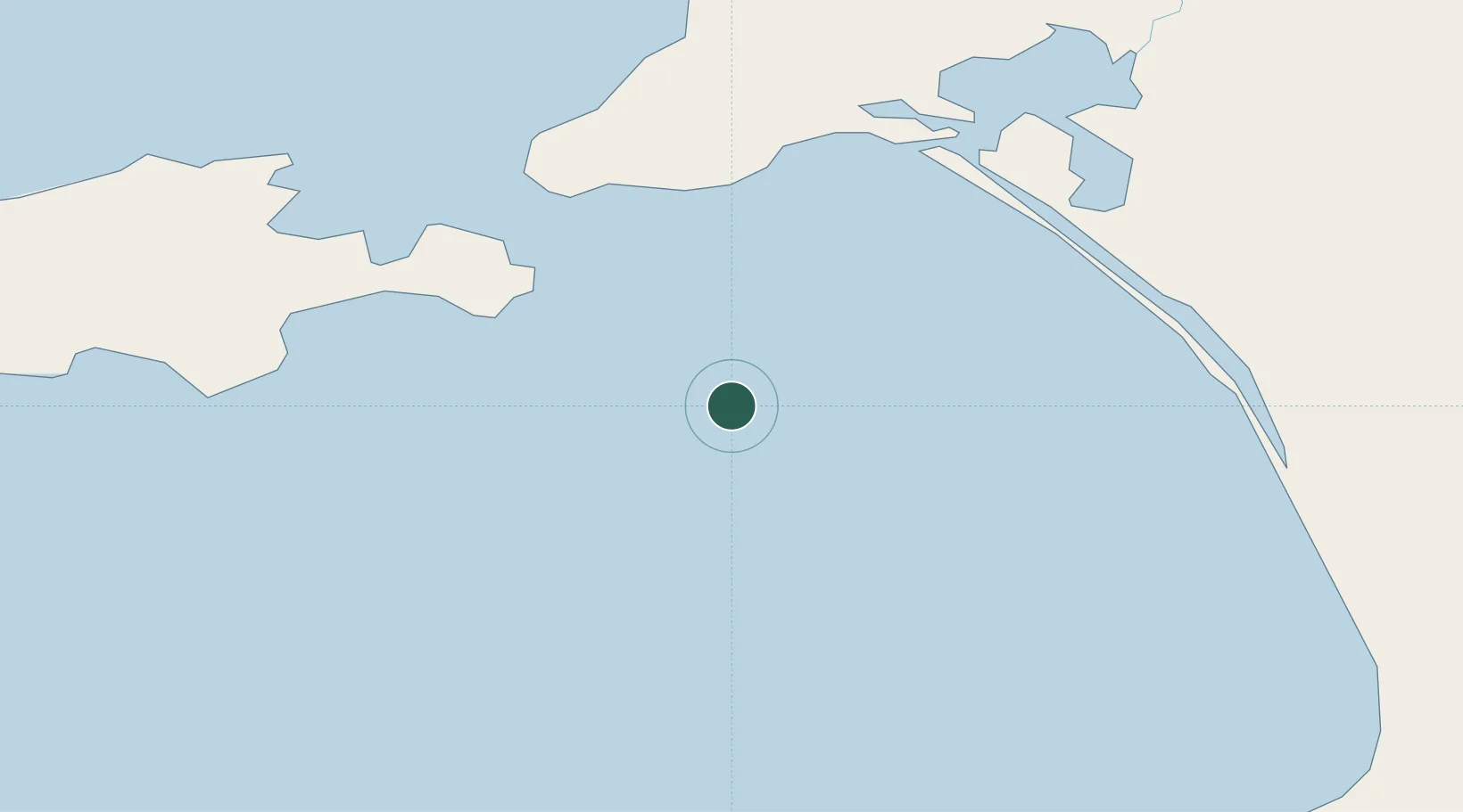
Location
Nearby Logistics Neighbours
Cities
- 1Victor Harbor62 km
- 2Goolwa70 km
- 3Kensington Gardens81 km
- 4Willunga91 km
- 5Port Willunga93 km
Ports
- 1Kingscote96 km
- 2Port Giles137 km
- 3Port Adelaide139 km
- 4Klein Point144 km
- 5Ardrossan194 km
Airports
- 1Kingscote Airport101 km
- 2Adelaide International Airport128 km
- 3RAAF Base Edinburgh155 km
- 4Mount Gambier Airport271 km
- 5Renmark Airport288 km
DatabookThe Record of Consolidated Knowledge
Australia beyond logistics?