Medium airport · Australia

Clarence Valley Regional AirportYGFN
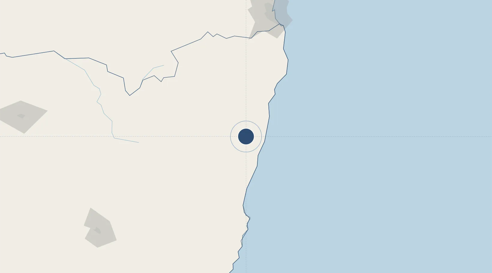
-29.7548°, 153.0312°
5,607 ft
Longest runway
1
Runways
110 ft
Elevation

Runway & Layout

Clarence Valley Regional Airport runway & taxiway layout
Runway & taxiway layout — OpenStreetMap (ODbL) / OurAirports

Radio Frequencies

CTAF
126.7 MHz
FSS
122.6 MHz
BRISBANE CNTR
OurAirports

Navaids

GFN NDB Grafton 389 kHz
OurAirports

Runways · 1

RunwayDimensions SurfaceTrue headingLit
18/36 5,607 × 98ft Asphalt 186°
OurAirports

Airport Specifications

IATA code
GFN
OurAirports
ICAO code
YGFN
OurAirports
Airport class
Medium airport
OurAirports
Scheduled service
No
OurAirports
Runway surface
Asphalt
OurAirports
Served city
Grafton
OurAirports

Location

Location of YGFN
Natural Earth 10m (public domain) · New South Wales · YGFN · -29.75, 153.03GoogleOSMYandex

Nearby Logistics Neighbours

Airports
  1. 1Coffs Harbour Airport63 km
  2. 2Lismore Airport105 km
  3. 3Ballina Byron Gateway Airport115 km
  4. 4Glen Innes Airport130 km
  5. 5Kempsey Airport149 km
Nearest neighbours — logibook spatial index (haversine) over the source coordinates
Cities
  1. 1Binna Burra126 km
  2. 2Bangalow128 km
  3. 3Byron Bay135 km
  4. 4Chinderah177 km
  5. 5Tweed Heads South180 km
Nearest neighbours — logibook spatial index (haversine) over the source coordinates
Ports
  1. 1Ballina112 km
  2. 2Brisbane254 km
  3. 3Newcastle371 km
  4. 4Sydney489 km
  5. 5Botany Bay502 km
Nearest neighbours — logibook spatial index (haversine) over the source coordinates
Trade Zones
  1. 1Latrobe Valley Economic Growth Zone1124 km
  2. 2Vanuatu Economic Development Zone2144 km
  3. 3Paga Hill Estate Special Economic Zone2336 km
  4. 4Tulagi Island Special Economic Zone2413 km
  5. 5Hicks Bay Area Special Economic Zone2472 km
Nearest neighbours — logibook spatial index (haversine) over the source coordinates
DatabookThe Record of Consolidated Knowledge
Australia beyond logistics?
Browse databook

All Sources

AirportsOurAirports
Public domain
Portsthe NGA World Port Index
Public domain (US gov)
LocationsUN/LOCODE
UN/LOCODE — free
Trade Zonesthe World Bank SEZ database
CC BY 4.0
Trade ZonesOpen Zone Map
CC BY
InfrastructureOpenStreetMap
ODbL 1.0
← Australia airports