Medium airport · Australia

Kowanyama AirportYKOW
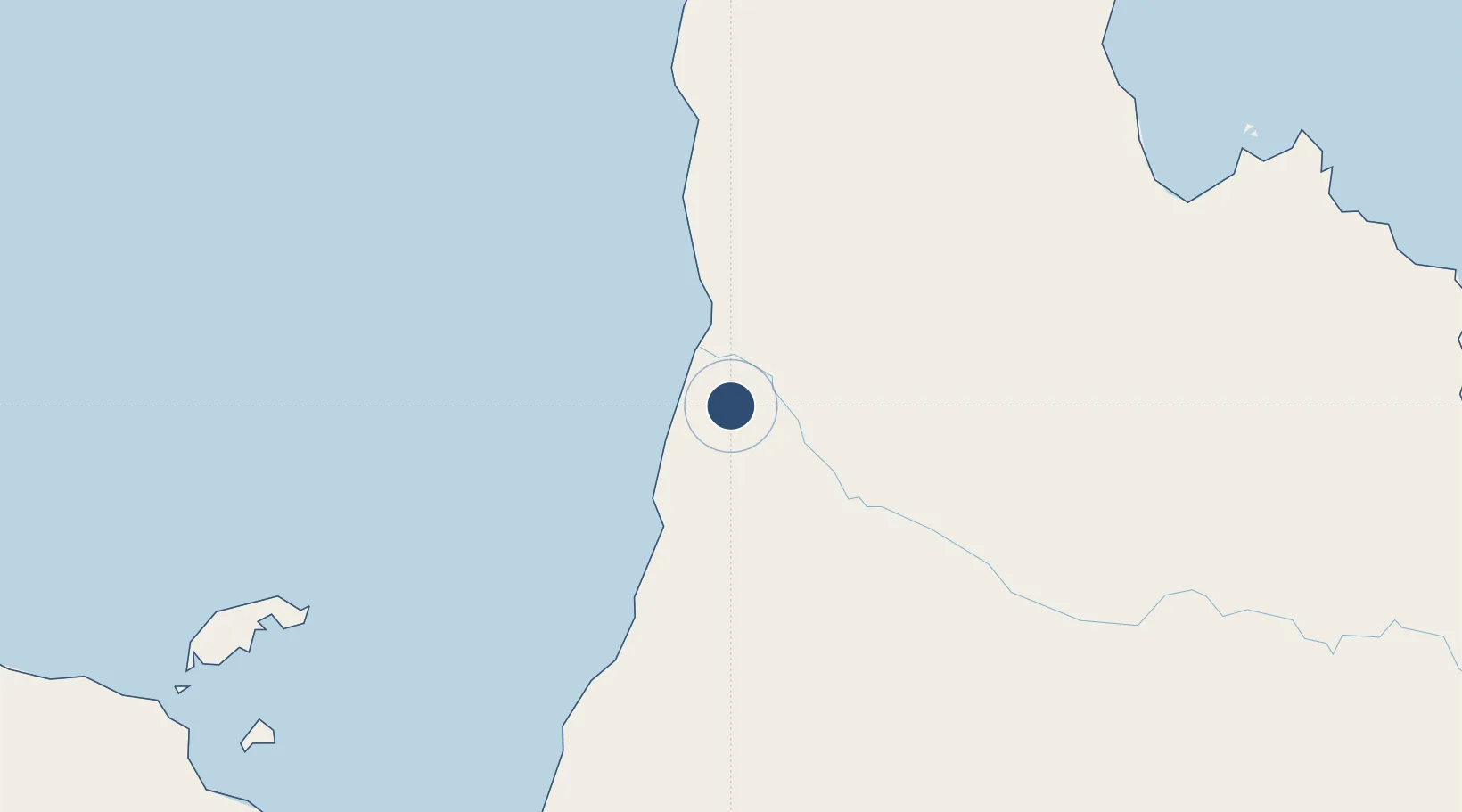
-15.4854°, 141.7526°
4,528 ft
Longest runway
1
Runways
35 ft
Elevation

Runway & Layout

Kowanyama Airport runway & taxiway layout
Runway & taxiway layout — OpenStreetMap (ODbL) / OurAirports

Radio Frequencies

CTAF
126.7 MHz
FSS
118.2 MHz
BRISBANE CNTR
OurAirports

Navaids

KOW NDB Kowanyama 242 kHz
OurAirports

Runways · 1

RunwayDimensions SurfaceTrue headingLit
12/30 4,528 × 98ft Asphalt 120°
OurAirports

Airport Specifications

IATA code
KWM
OurAirports
ICAO code
YKOW
OurAirports
Airport class
Medium airport
OurAirports
Scheduled service
Yes
OurAirports
Runway surface
Asphalt
OurAirports
Served city
Kowanyama
OurAirports

Location

Location of YKOW
Natural Earth 10m (public domain) · Queensland · YKOW · -15.49, 141.75GoogleOSMYandex

Nearby Logistics Neighbours

Airports
  1. 1Pormpuraaw Airport67 km
  2. 2Aurukun Airport237 km
  3. 3Karumba Airport240 km
  4. 4Coen Airport241 km
  5. 5Normanton Airport255 km
Nearest neighbours — logibook spatial index (haversine) over the source coordinates
Cities
  1. 1Karumba243 km
  2. 2Amrun286 km
  3. 3Evans Landing314 km
  4. 4Burketown344 km
  5. 5Skardon River416 km
Nearest neighbours — logibook spatial index (haversine) over the source coordinates
Ports
  1. 1Karumba243 km
  2. 2Weipa314 km
  3. 3Cape Flattery Harbor391 km
  4. 4Cairns459 km
  5. 5Mourilyan Harbour523 km
Nearest neighbours — logibook spatial index (haversine) over the source coordinates
Trade Zones
  1. 1Paga Hill Estate Special Economic Zone888 km
  2. 2Ihu Special Economic Zone932 km
  3. 3Western Province Special Economic Zone970 km
  4. 4Morobe Agricultural Special Economic Zone1077 km
  5. 5Nadzab (Momase) Special Economic Zone1131 km
Nearest neighbours — logibook spatial index (haversine) over the source coordinates
DatabookThe Record of Consolidated Knowledge
Australia beyond logistics?
Browse databook

All Sources

AirportsOurAirports
Public domain
Portsthe NGA World Port Index
Public domain (US gov)
LocationsUN/LOCODE
UN/LOCODE — free
Trade Zonesthe World Bank SEZ database
CC BY 4.0
Trade ZonesOpen Zone Map
CC BY
InfrastructureOpenStreetMap
ODbL 1.0
← Australia airports