Small airport · Indonesia

Long Apung AirportWRLP
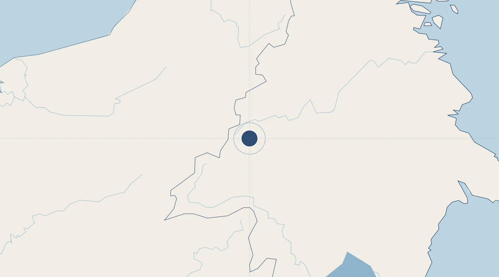
1.7069°, 114.9699°
2,620 ft
Longest runway
1
Runways
2,437 ft
Elevation

Runway & Layout

Long Apung Airport runway & taxiway layout
Runway & taxiway layout — OpenStreetMap (ODbL) / OurAirports

Runways · 1

RunwayDimensions SurfaceTrue headingLit
17/35 2,620 × 75ft Asphalt
OurAirports

Airport Specifications

IATA code
LPU
OurAirports
ICAO code
WAQL
OurAirports
Airport class
Small airport
OurAirports
Scheduled service
Yes
OurAirports
Runway surface
Asphalt
OurAirports
Served city
Long Apung-Borneo Island
OurAirports

Location

Location of WRLP
Natural Earth 10m (public domain) · Kalimantan Timur · WRLP · 1.71, 114.97GoogleOSMYandex

Nearby Logistics Neighbours

Airports
  1. 1Datadawai Airport111 km
  2. 2Long Banga Airport173 km
  3. 3Long Lellang Airport192 km
  4. 4Long Rungan232 km
  5. 5Bario Airport232 km
Nearest neighbours — logibook spatial index (haversine) over the source coordinates
Cities
  1. 1Tubau212 km
  2. 2Pulau Bunyu244 km
  3. 3Bintulu, Sarawak272 km
  4. 4Samalaju296 km
  5. 5Suaran306 km
Nearest neighbours — logibook spatial index (haversine) over the source coordinates
Ports
  1. 1Kuala Kapus159 km
  2. 2Bintulu Port274 km
  3. 3Miri318 km
  4. 4Tanjung Sangata325 km
  5. 5Lutong325 km
Nearest neighbours — logibook spatial index (haversine) over the source coordinates
Trade Zones
  1. 1Muara Wahau Industrial Park174 km
  2. 2Delma Industrial Park207 km
  3. 3Mas Cargo Free Zone, Penang311 km
  4. 4Kaltim Industrial Estate326 km
  5. 5Maloy Batuta Trans Kalimantan Special Economic Zone344 km
Nearest neighbours — logibook spatial index (haversine) over the source coordinates
DatabookThe Record of Consolidated Knowledge
Indonesia beyond logistics?
Browse databook

All Sources

AirportsOurAirports
Public domain
Portsthe NGA World Port Index
Public domain (US gov)
LocationsUN/LOCODE
UN/LOCODE — free
Trade Zonesthe World Bank SEZ database
CC BY 4.0
Trade ZonesOpen Zone Map
CC BY
InfrastructureOpenStreetMap
ODbL 1.0
← Indonesia airports