Small airport · Indonesia
Long RunganID-0094
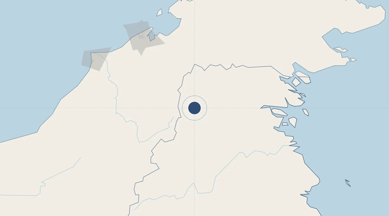
3.5994°, 115.8418°
1,312 ft
Longest runway
1
Runways
2,880 ft
Elevation
Runway & Layout

Runways · 1
| Runway | Dimensions | Surface | True heading | Lit |
|---|---|---|---|---|
| 03/21 | 1,312 × 82ft | Clay/grass | — | — |
Airport Specifications
Airport class
Small airport
Scheduled service
Yes
Runway surface
Clay/grass
Served city
Long Rungan
Location
Nearby Logistics Neighbours
Airports
- 1Yuvai Semaring Airport38 km
- 2Bario Airport43 km
- 3Bakalalan Airport49 km
- 4Long Banga Airport66 km
- 5Long Lellang Airport79 km
Cities
- 1Bantul124 km
- 2Batu Batu, Sabah160 km
- 3Bandar Seri Begawan175 km
- 4Muara180 km
- 5Beaufort193 km
Ports
- 1Kuala Kapus177 km
- 2Bandar Seri Begawan178 km
- 3Muara Harbor181 km
- 4Lumut198 km
- 5Seria Oil Loading Terminal204 km
Trade Zones
- 1Muara Export Zone181 km
- 2Terunjing Free Trade Zone181 km
- 3Labuan Offshore Financial Centre198 km
- 4Mas Cargo Free Zone, Penang222 km
- 5Muara Wahau Industrial Park252 km
DatabookThe Record of Consolidated Knowledge
Indonesia beyond logistics?