Channel & Berth Profile
Pilotage, Tugs & Services
Pilotage compulsoryYES
Pilotage availableYES
Tug assistanceYES
Potable waterYES
Diesel bunkersNO
MedicalYES
Facilities & Capabilities
Container—
Ro-Ro—
Liquid bulk—
Dry bulk—
Oil terminal—
Break bulk—
Dry dock—
RepairsNO
BunkeringNO
Rail link—
Dangerous cargo—
ISPS security—
Harbour Specifications
Harbour size
Very Small
Harbour type
Open Roadstead
Shelter
Poor
Water body
South China Sea; North Pacific Ocean
Pilotage
Yes
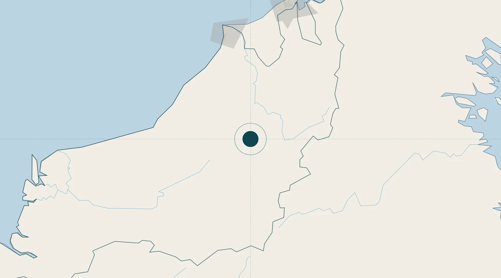
Location
Nearby Logistics Neighbours
Ports
- 1Bintulu Port147 km
- 2Miri160 km
- 3Lutong168 km
- 4Seria Oil Loading Terminal180 km
- 5Kuala Belait183 km
Cities
- 1Tubau76 km
- 2Samalaju140 km
- 3Bintulu, Sarawak146 km
- 4Miri, Sarawak169 km
- 5Kuala Baram179 km
Airports
- 1Long Lellang Airport99 km
- 2Long Banga Airport117 km
- 3Mulu Airport126 km
- 4Marudi Airport131 km
- 5Long Seridan Airport134 km
Trade Zones
- 1Mas Cargo Free Zone, Penang154 km
- 2Muara Export Zone239 km
- 3Terunjing Free Trade Zone239 km
- 4Labuan Offshore Financial Centre271 km
- 5Muara Wahau Industrial Park295 km
DatabookThe Record of Consolidated Knowledge
Indonesia beyond logistics?