Seaport · Malaysia
Bintulu PortMYBTU
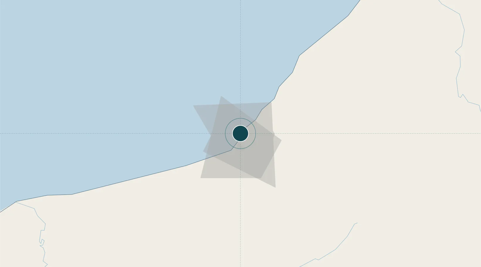
3.2667°, 113.0667°
12.5 m
Channel depth
1
Container terminals
57.4
Port liner connectivity
Channel & Berth Profile
Pilotage, Tugs & Services
Pilotage compulsoryYES
Pilotage availableYES
Tug assistanceYES
Salvage tugsNO
Potable waterYES
Diesel bunkersYES
MedicalYES
Garbage disposalYES
Facilities & Capabilities
Container—
Ro-Ro—
Liquid bulk—
Dry bulk—
Oil terminal—
Break bulk—
Dry dockNO
RepairsNO
BunkeringYES
Rail link—
Dangerous cargo—
ISPS security—
Harbour Specifications
Harbour size
Small
Harbour type
Coastal (Breakwater)
Shelter
Poor
Water body
South China Sea; North Pacific Ocean
Tidal range
1 m
Overhead limit
No
Pilotage
Yes
Liner Connectivity
57.4
PLSCI
Port Liner Shipping Connectivity Index for Bintulu Port, as published by UNCTAD for the latest available quarter. Higher values indicate stronger scheduled liner-shipping integration.
Shown relative to the highest per-port PLSCI in the dataset (1,657.9).
Location
Container Terminals · 1
BINTULU INTERNATIONAL CONTAINER TERMINAL (BICT)
BICT BINTULU PORT SDN. BHD.
Nearby Logistics Neighbours
Ports
- 1Kuala Kapus147 km
- 2Miri159 km
- 3Lutong169 km
- 4Sibu177 km
- 5Kuala Belait197 km
Cities
- 1Tubau72 km
- 2Samalaju92 km
- 3Sungai Merah172 km
- 4Miri, Sarawak172 km
- 5Sibu, Sarawak176 km
Airports
- 1Bintulu Airport17 km
- 2Mukah Airport121 km
- 3Miri Airport156 km
- 4Sibu Airport164 km
- 5Marudi Airport173 km
Trade Zones
- 1Mas Cargo Free Zone, Penang156 km
- 2Muara Export Zone296 km
- 3Terunjing Free Trade Zone296 km
- 4Labuan Offshore Financial Centre329 km
- 5Sarawak Corridor Of Renewable Energy352 km
DatabookThe Record of Consolidated Knowledge
Malaysia beyond logistics?