Channel & Berth Profile
Pilotage, Tugs & Services
Pilotage compulsoryYES
Pilotage availableYES
Pilotage advisableYES
Local assistanceYES
Tug assistanceYES
Diesel bunkersYES
MedicalYES
Garbage disposalNO
Facilities & Capabilities
Container—
Ro-Ro—
Liquid bulk—
Dry bulk—
Oil terminal—
Break bulk—
Dry dock—
Repairs—
BunkeringYES
Rail link—
Dangerous cargo—
ISPS security—
Harbour Specifications
Harbour size
Small
Harbour type
Open Roadstead
Shelter
Fair
Water body
South China Sea; North Pacific Ocean
Tidal range
4 m
Pilotage
Yes
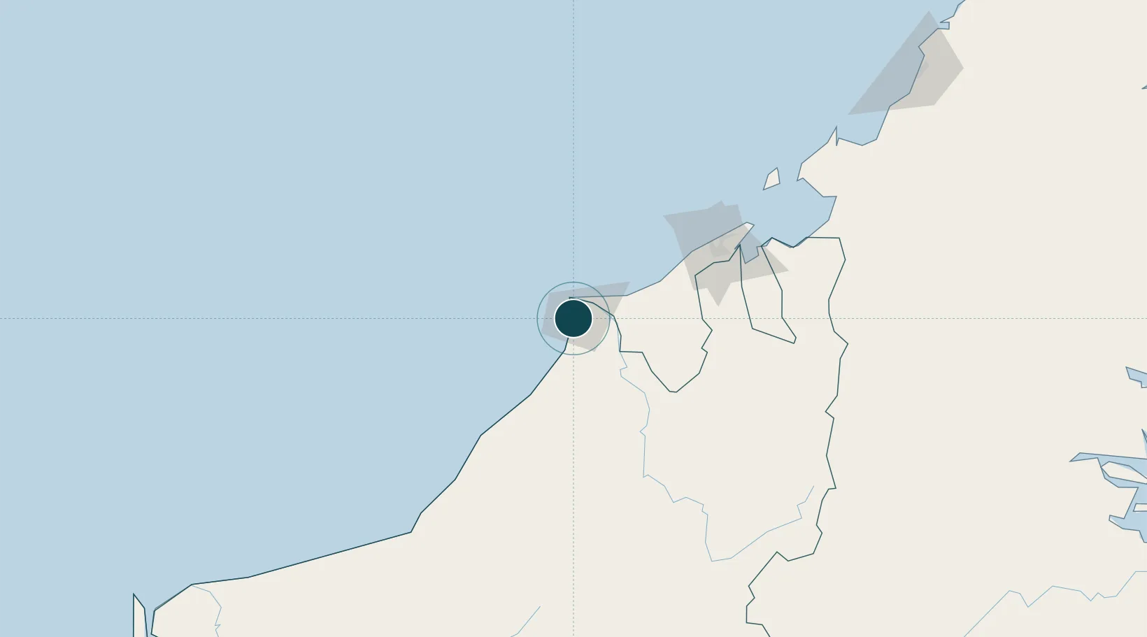
Location
Nearby Logistics Neighbours
Ports
- 1Miri10 km
- 2Kuala Belait29 km
- 3Seria Oil Loading Terminal39 km
- 4Lumut57 km
- 5Bandar Seri Begawan108 km
Cities
- 1Miri, Sarawak3 km
- 2Kuala Baram11 km
- 3Samalaju77 km
- 4Bandar Seri Begawan113 km
- 5Muara134 km
Airports
- 1Miri Airport16 km
- 2Anduki Airport46 km
- 3Marudi Airport49 km
- 4Mulu Airport101 km
- 5Brunei International Airport116 km
Trade Zones
- 1Mas Cargo Free Zone, Penang16 km
- 2Muara Export Zone134 km
- 3Terunjing Free Trade Zone134 km
- 4Labuan Offshore Financial Centre165 km
- 5Sabah Development Corridor282 km
DatabookThe Record of Consolidated Knowledge
Malaysia beyond logistics?