Runway & Layout

Airport Specifications
IATA code
LBP
Airport class
Small airport
Scheduled service
Yes
Served city
Long Banga
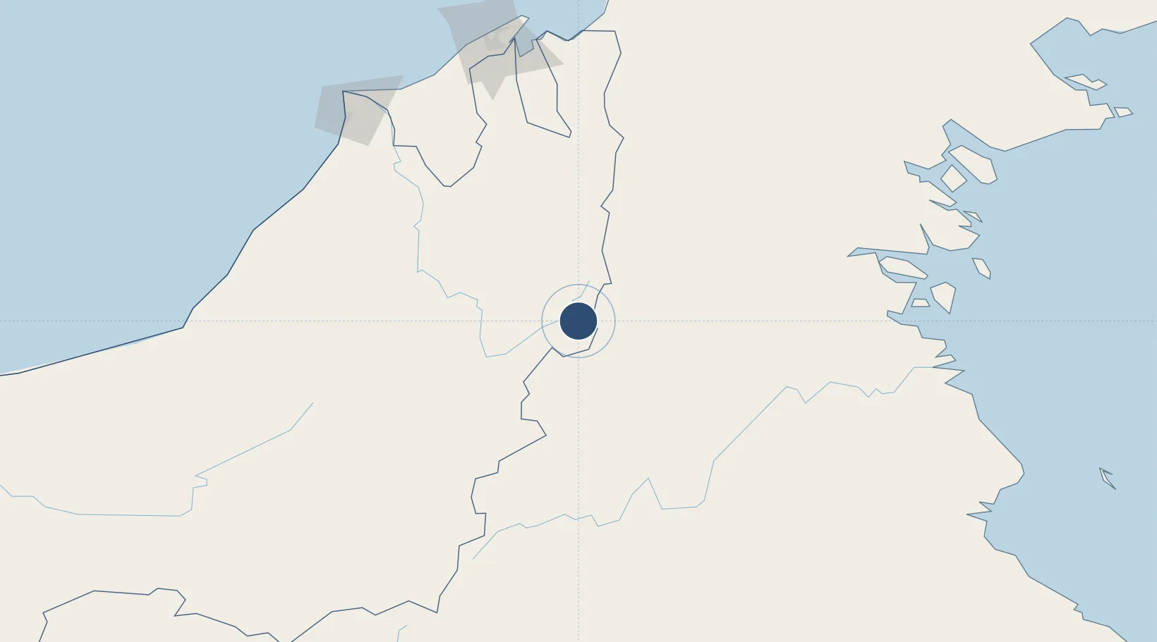
Location
Nearby Logistics Neighbours
Airports
- 1Long Lellang Airport37 km
- 2Bario Airport60 km
- 3Long Rungan66 km
- 4Yuvai Semaring Airport84 km
- 5Bakalalan Airport89 km
Cities
- 1Bantul189 km
- 2Tubau189 km
- 3Bandar Seri Begawan194 km
- 4Muara206 km
- 5Miri, Sarawak209 km
Ports
- 1Kuala Kapus117 km
- 2Bandar Seri Begawan196 km
- 3Seria Oil Loading Terminal198 km
- 4Lumut199 km
- 5Miri206 km
Trade Zones
- 1Mas Cargo Free Zone, Penang201 km
- 2Muara Export Zone207 km
- 3Terunjing Free Trade Zone207 km
- 4Labuan Offshore Financial Centre231 km
- 5Muara Wahau Industrial Park232 km
DatabookThe Record of Consolidated Knowledge
Malaysia beyond logistics?