Runway & Layout

Airport Specifications
IATA code
LGL
ICAO code
WBGF
Airport class
Small airport
Scheduled service
Yes
Served city
Long Datih
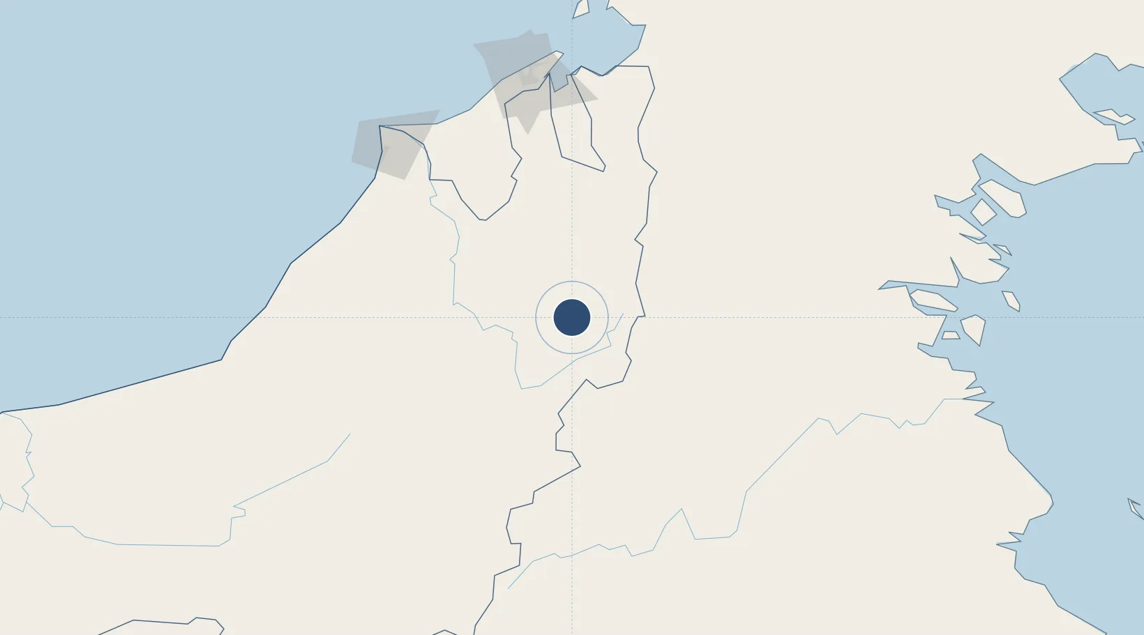
Location
Nearby Logistics Neighbours
Airports
- 1Long Banga Airport37 km
- 2Bario Airport50 km
- 3Long Seridan Airport63 km
- 4Long Rungan79 km
- 5Mulu Airport80 km
Cities
- 1Bandar Seri Begawan164 km
- 2Tubau165 km
- 3Miri, Sarawak172 km
- 4Muara179 km
- 5Kuala Baram182 km
Ports
- 1Kuala Kapus99 km
- 2Seria Oil Loading Terminal162 km
- 3Lumut164 km
- 4Bandar Seri Begawan165 km
- 5Miri170 km
Trade Zones
- 1Mas Cargo Free Zone, Penang165 km
- 2Muara Export Zone179 km
- 3Terunjing Free Trade Zone179 km
- 4Labuan Offshore Financial Centre207 km
- 5Muara Wahau Industrial Park268 km
DatabookThe Record of Consolidated Knowledge
Malaysia beyond logistics?