Medium airport · Malaysia
Bario AirportWBGZ
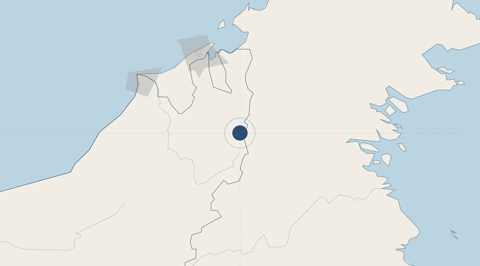
3.7346°, 115.4785°
2,198 ft
Longest runway
1
Runways
3,350 ft
Elevation
Runway & Layout

Runways · 1
| Runway | Dimensions | Surface | True heading | Lit |
|---|---|---|---|---|
| 11/29 | 2,198 × —ft | — | — | — |
Airport Specifications
IATA code
BBN
ICAO code
WBGZ
Airport class
Medium airport
Scheduled service
Yes
Served city
Bario
Location
Nearby Logistics Neighbours
Airports
- 1Yuvai Semaring Airport30 km
- 2Bakalalan Airport31 km
- 3Long Rungan43 km
- 4Long Lellang Airport50 km
- 5Long Seridan Airport53 km
Cities
- 1Bandar Seri Begawan141 km
- 2Muara150 km
- 3Batu Batu, Sabah154 km
- 4Bantul156 km
- 5Labuan173 km
Ports
- 1Bandar Seri Begawan144 km
- 2Kuala Kapus148 km
- 3Muara Harbor152 km
- 4Lumut158 km
- 5Seria Oil Loading Terminal162 km
Trade Zones
- 1Muara Export Zone151 km
- 2Terunjing Free Trade Zone151 km
- 3Labuan Offshore Financial Centre173 km
- 4Mas Cargo Free Zone, Penang179 km
- 5Sabah Development Corridor254 km
DatabookThe Record of Consolidated Knowledge
Malaysia beyond logistics?