UN/LOCODE hub · Malaysia
MYBTU
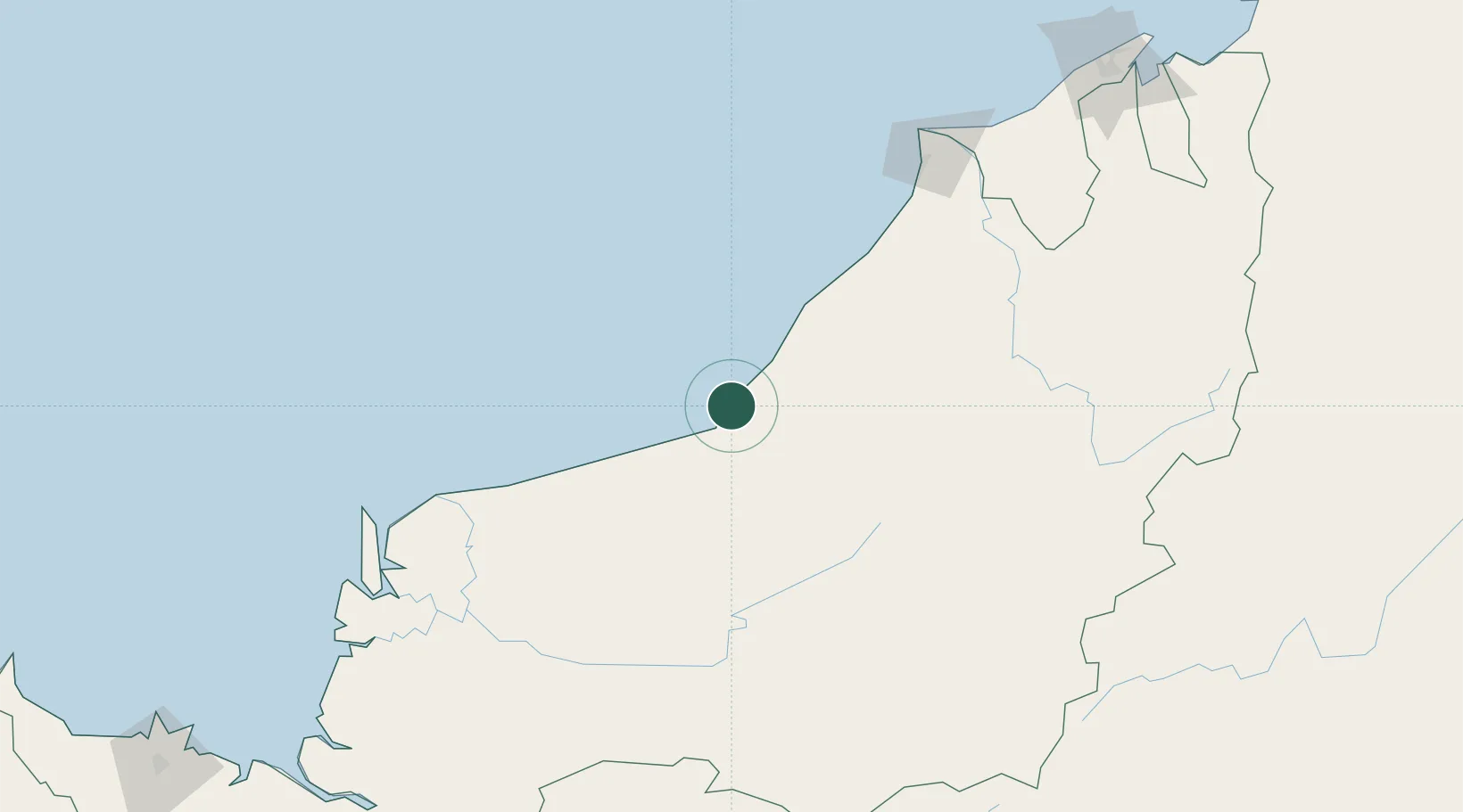
Bintulu, Sarawak
3.2678°, 113.0831°
1
Transport functions
1
Container terminals
Transport Functions
Port
Hub Profile
Logistics facilities
9
Container terminals
1
Location
Nearby Logistics Neighbours
Cities
- 1Tubau70 km
- 2Samalaju91 km
- 3Miri, Sarawak171 km
- 4Sungai Merah173 km
- 5Kuala Baram176 km
Ports
- 1Kuala Kapus146 km
- 2Miri158 km
- 3Lutong168 km
- 4Sibu178 km
- 5Kuala Belait196 km
Airports
- 1Bintulu Airport18 km
- 2Mukah Airport123 km
- 3Miri Airport154 km
- 4Sibu Airport166 km
- 5Marudi Airport172 km
Trade Zones
- 1Mas Cargo Free Zone, Penang154 km
- 2Muara Export Zone295 km
- 3Terunjing Free Trade Zone295 km
- 4Labuan Offshore Financial Centre328 km
- 5Sarawak Corridor Of Renewable Energy354 km
DatabookThe Record of Consolidated Knowledge
Malaysia beyond logistics?