Seaport · Indonesia

Tanjung SangataIDSGQ

0.3667°, 117.5667°

Channel & Berth Profile

SEA LEVEL (CD)CHANNEL BEDOil terminal · 17.1 m
NGA World Port Index

Pilotage, Tugs & Services

Pilotage availableYES
Tug assistanceYES
Potable waterNO
NGA World Port Index

Facilities & Capabilities

Container
Ro-Ro
Liquid bulk
Dry bulk
Oil terminal
Break bulk
Dry dock
Repairs
BunkeringNO
Rail link
Dangerous cargo
ISPS security
NGA World Port Index

Harbour Specifications
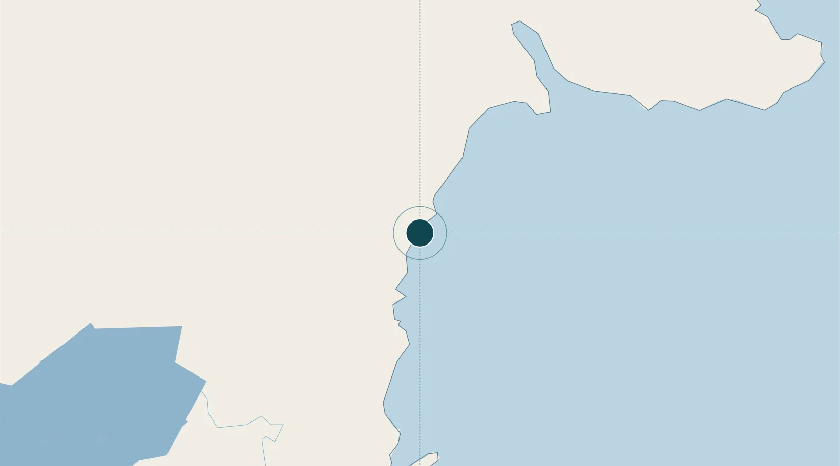
Harbour size
Very Small
NGA World Port Index
Harbour type
Open Roadstead
NGA World Port Index
Shelter
Poor
NGA World Port Index
Water body
Makassar Strait; South Pacific Ocean
NGA World Port Index

Location

Location of IDSGQ
Natural Earth 10m (public domain) · Kalimantan Timur · IDSGQ · 0.37, 117.57GoogleOSMYandex

Nearby Logistics Neighbours

Ports
  1. 1Bontang Lng Terminal31 km
  2. 2Tanjung Santan52 km
  3. 3Samarinda110 km
  4. 4Senipah Oil Terminal153 km
  5. 5Balikpapan198 km
Nearest neighbours — logibook spatial index (haversine) over the source coordinates
Cities
  1. 1Tanjung Merangas38 km
  2. 2Lubuk Tutung48 km
  3. 3Samarinda, Kalimantan110 km
  4. 4Senipah154 km
  5. 5Suaran188 km
Nearest neighbours — logibook spatial index (haversine) over the source coordinates
Airports
  1. 1LNG Badak Airport29 km
  2. 2Aji Pangeran Tumenggung Pranoto International Airport90 km
  3. 3Sultan Aji Muhammad Sulaiman Sepinggan International Airport197 km
  4. 4Kalimarau Airport199 km
  5. 5Tanjung Harapan Airport275 km
Nearest neighbours — logibook spatial index (haversine) over the source coordinates
Trade Zones
  1. 1Kaltim Industrial Estate23 km
  2. 2Maloy Batuta Trans Kalimantan Special Economic Zone64 km
  3. 3Delma Industrial Park129 km
  4. 4Muara Wahau Industrial Park167 km
  5. 5Kariangau Industrial Estate199 km
Nearest neighbours — logibook spatial index (haversine) over the source coordinates
DatabookThe Record of Consolidated Knowledge
Indonesia beyond logistics?
Browse databook

All Sources

Portsthe NGA World Port Index
Public domain (US gov)
AirportsOurAirports
Public domain
LocationsUN/LOCODE
UN/LOCODE — free
Trade Zonesthe World Bank SEZ database
CC BY 4.0
Trade ZonesOpen Zone Map
CC BY
← Indonesia ports