Transport Functions
Port
Road
Hub Profile
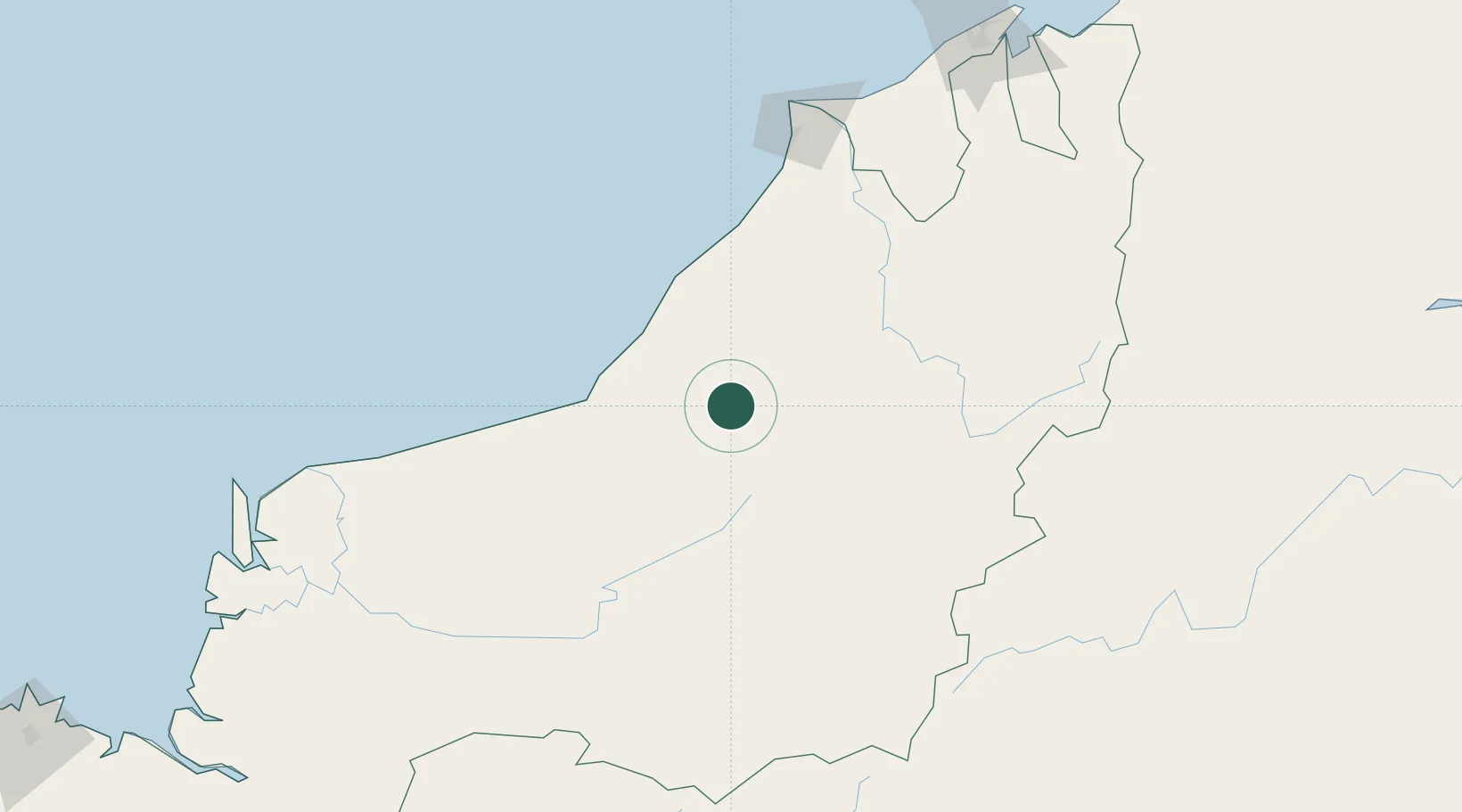
Place type
Populated place
Region
Sarawak
Time zone
Asia/Kuching
Elevation
23 m
Location
Nearby Logistics Neighbours
Cities
- 1Bintulu, Sarawak70 km
- 2Samalaju93 km
- 3Miri, Sarawak154 km
- 4Kuala Baram162 km
- 5Sungai Merah226 km
Ports
- 1Bintulu Port72 km
- 2Kuala Kapus76 km
- 3Miri142 km
- 4Lutong152 km
- 5Kuala Belait176 km
Airports
- 1Bintulu Airport76 km
- 2Marudi Airport136 km
- 3Miri Airport136 km
- 4Mulu Airport159 km
- 5Long Lellang Airport165 km
Trade Zones
- 1Mas Cargo Free Zone, Penang136 km
- 2Muara Export Zone260 km
- 3Terunjing Free Trade Zone260 km
- 4Labuan Offshore Financial Centre294 km
- 5Muara Wahau Industrial Park365 km
DatabookThe Record of Consolidated Knowledge
Malaysia beyond logistics?