Small airport · Indonesia

Datadawai AirportWALJ
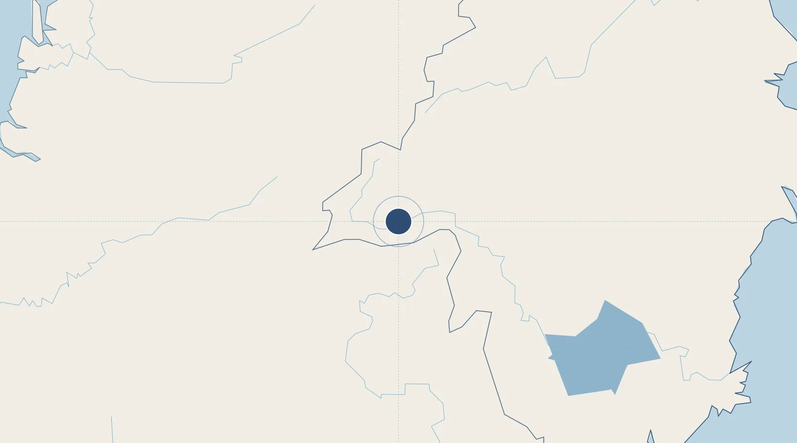
0.8070°, 114.5291°
2,461 ft
Longest runway
1
Runways
508 ft
Elevation

Runway & Layout

Datadawai Airport runway & taxiway layout
Runway & taxiway layout — OpenStreetMap (ODbL) / OurAirports

Navaids

TG NDB Tiong Ohong 290 kHz
OurAirports

Runways · 1

RunwayDimensions SurfaceTrue headingLit
02/20 2,461 × 59ft Asphalt
OurAirports

Airport Specifications

IATA code
DTD
OurAirports
ICAO code
WALJ
OurAirports
Airport class
Small airport
OurAirports
Scheduled service
Yes
OurAirports
Runway surface
Asphalt
OurAirports
Served city
Datadawai-Borneo Island
OurAirports

Location

Location of WALJ
Natural Earth 10m (public domain) · Kalimantan Timur · WALJ · 0.81, 114.53GoogleOSMYandex

Nearby Logistics Neighbours

Airports
  1. 1Long Apung Airport111 km
  2. 2Pangsuma Airport177 km
  3. 3Haji Muhammad Sidik Airport209 km
  4. 4Long Banga Airport283 km
  5. 5Long Lellang Airport299 km
Nearest neighbours — logibook spatial index (haversine) over the source coordinates
Cities
  1. 1Pulau Bunyu193 km
  2. 2Tubau275 km
  3. 3Buntok280 km
  4. 4Bintulu, Sarawak317 km
  5. 5Samarinda, Kalimantan331 km
Nearest neighbours — logibook spatial index (haversine) over the source coordinates
Ports
  1. 1Kuala Kapus245 km
  2. 2Bintulu Port318 km
  3. 3Samarinda323 km
  4. 4Bontang Lng Terminal338 km
  5. 5Tanjung Sangata341 km
Nearest neighbours — logibook spatial index (haversine) over the source coordinates
Trade Zones
  1. 1Delma Industrial Park212 km
  2. 2Muara Wahau Industrial Park231 km
  3. 3Kaltim Industrial Estate335 km
  4. 4Kariangau Industrial Estate346 km
  5. 5Maloy Batuta Trans Kalimantan Special Economic Zone378 km
Nearest neighbours — logibook spatial index (haversine) over the source coordinates
DatabookThe Record of Consolidated Knowledge
Indonesia beyond logistics?
Browse databook

All Sources

AirportsOurAirports
Public domain
Portsthe NGA World Port Index
Public domain (US gov)
LocationsUN/LOCODE
UN/LOCODE — free
Trade Zonesthe World Bank SEZ database
CC BY 4.0
Trade ZonesOpen Zone Map
CC BY
InfrastructureOpenStreetMap
ODbL 1.0
← Indonesia airports