UN/LOCODE hub · Indonesia
IDPBJ

Pulau Bunyu

-0.3000°, 115.8667°
2
Transport functions

Transport Functions

Port
Road
UN/LOCODE

Location

Location of IDPBJ
Natural Earth 10m (public domain) · Kalimantan Timur · IDPBJ · -0.30, 115.87GoogleOSMYandex

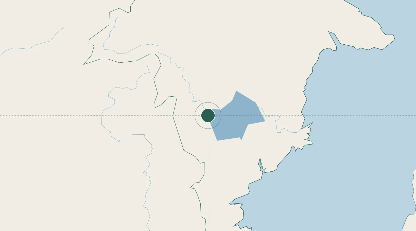
Nearby Logistics Neighbours

Cities
  1. 1Kariangau140 km
  2. 2Balikpapan140 km
  3. 3Samarinda, Kalimantan148 km
  4. 4Senipah160 km
  5. 5Tanjung Merangas187 km
Nearest neighbours — logibook spatial index (haversine) over the source coordinates
Ports
  1. 1Samarinda141 km
  2. 2Balikpapan149 km
  3. 3Senipah Oil Terminal162 km
  4. 4Lawi Lawi Oil Terminal162 km
  5. 5Tanah Merah172 km
Nearest neighbours — logibook spatial index (haversine) over the source coordinates
Airports
  1. 1Haji Muhammad Sidik Airport132 km
  2. 2Aji Pangeran Tumenggung Pranoto International Airport154 km
  3. 3Sultan Aji Muhammad Sulaiman Sepinggan International Airport157 km
  4. 4LNG Badak Airport185 km
  5. 5Datadawai Airport193 km
Nearest neighbours — logibook spatial index (haversine) over the source coordinates
Trade Zones
  1. 1Delma Industrial Park112 km
  2. 2Kariangau Industrial Estate154 km
  3. 3Kaltim Industrial Estate187 km
  4. 4Muara Wahau Industrial Park205 km
  5. 5Maloy Batuta Trans Kalimantan Special Economic Zone261 km
Nearest neighbours — logibook spatial index (haversine) over the source coordinates
DatabookThe Record of Consolidated Knowledge
Indonesia beyond logistics?
Browse databook

All Sources

LocationsUN/LOCODE
UN/LOCODE — free
Portsthe NGA World Port Index
Public domain (US gov)
AirportsOurAirports
Public domain
Trade Zonesthe World Bank SEZ database
CC BY 4.0
Trade ZonesOpen Zone Map
CC BY
← Indonesia locations