Channel & Berth Profile
Pilotage, Tugs & Services
Pilotage compulsoryYES
Pilotage availableYES
Pilotage advisableYES
Local assistanceYES
Tug assistanceYES
Potable waterYES
MedicalYES
Garbage disposalNO
Facilities & Capabilities
ContainerYES
Ro-Ro—
Liquid bulk—
Dry bulkYES
Oil terminal—
Break bulkYES
Dry dock—
RepairsNO
Bunkering—
Rail link—
Dangerous cargo—
ISPS security—
Harbour Specifications
Harbour size
Small
Harbour type
River (Natural)
Shelter
Fair
Water body
South China Sea; North Pacific Ocean
Tidal range
2 m
Pilotage
Yes
Liner Connectivity
14.5
PLSCI
Port Liner Shipping Connectivity Index for Miri, as published by UNCTAD for the latest available quarter. Higher values indicate stronger scheduled liner-shipping integration.
Shown relative to the highest per-port PLSCI in the dataset (1,657.9).
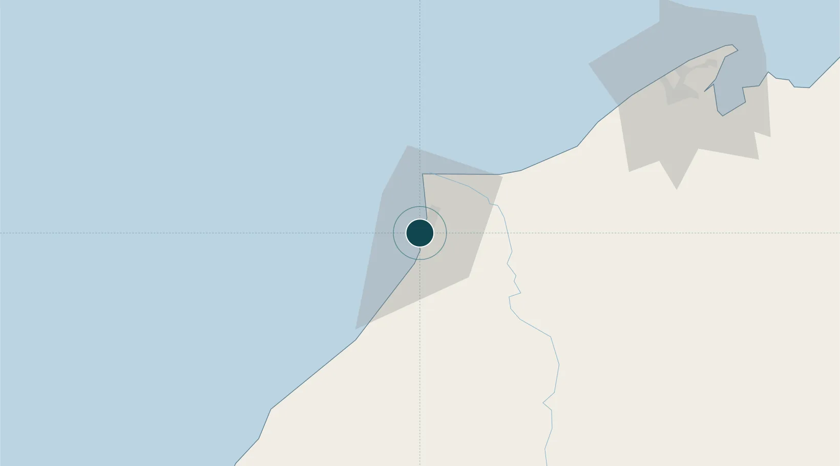
Location
Nearby Logistics Neighbours
Ports
- 1Lutong10 km
- 2Kuala Belait38 km
- 3Seria Oil Loading Terminal47 km
- 4Lumut65 km
- 5Bandar Seri Begawan116 km
Cities
- 1Kuala Baram21 km
- 2Samalaju68 km
- 3Bandar Seri Begawan121 km
- 4Muara142 km
- 5Tubau142 km
Airports
- 1Miri Airport7 km
- 2Marudi Airport46 km
- 3Anduki Airport54 km
- 4Mulu Airport100 km
- 5Brunei International Airport124 km
Trade Zones
- 1Mas Cargo Free Zone, Penang6 km
- 2Muara Export Zone142 km
- 3Terunjing Free Trade Zone142 km
- 4Labuan Offshore Financial Centre173 km
- 5Sabah Development Corridor290 km
DatabookThe Record of Consolidated Knowledge
Malaysia beyond logistics?