Diversified Zone · Indonesia

Muara Wahau Industrial Park Under Development
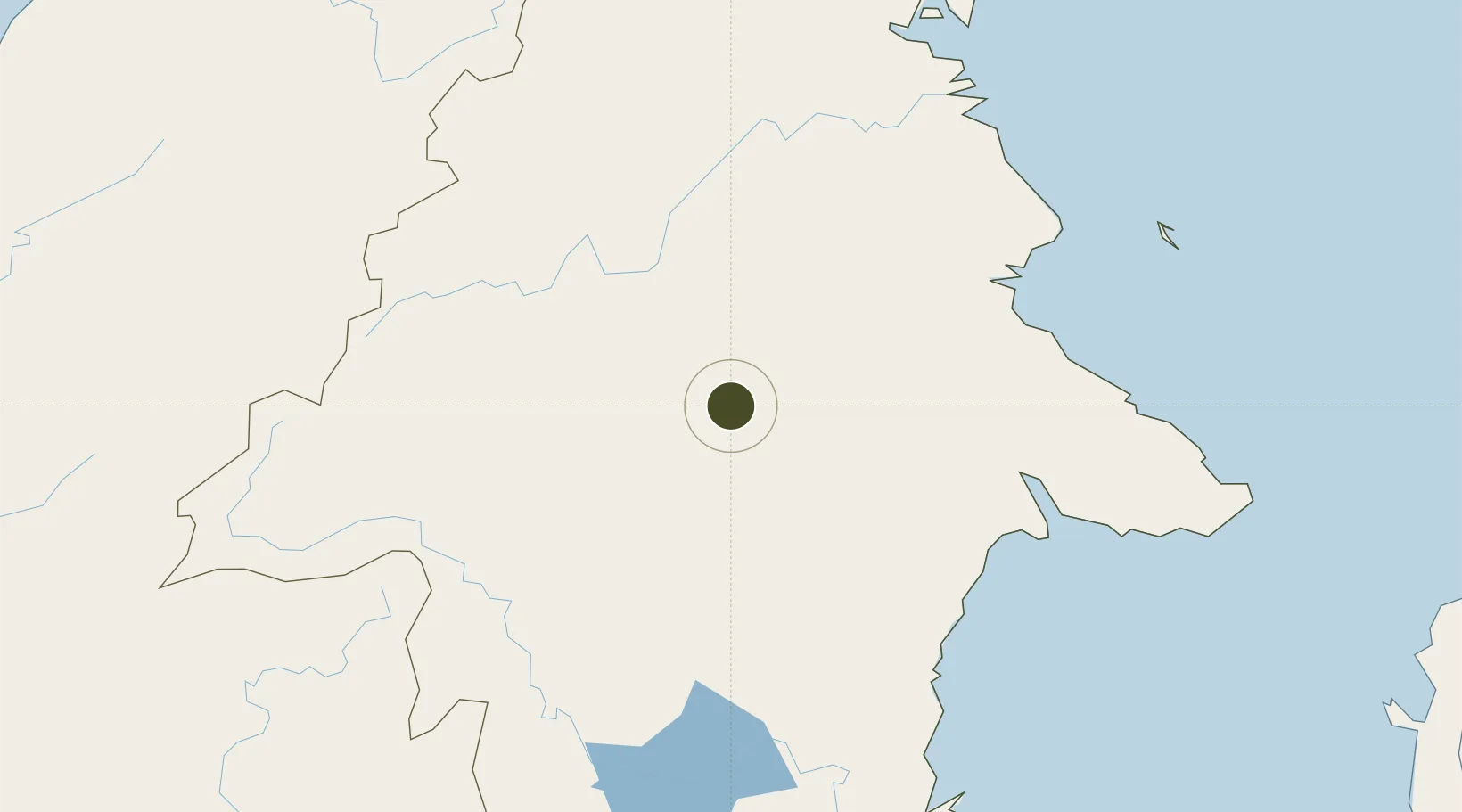
1.4304°, 116.5116°
400 ha
Zone area
166.6 km
Nearest port
129.6 km
Nearest airport

Gateway access

Nearest neighbours — logibook spatial index (haversine) over the source coordinates

Zone profile

Zone type
Diversified Zone
Open Zone Map
Region
Kalimantan Timur
Open Zone Map
Status
Under Development
Open Zone Map
Management
Public-Private Partnership
Open Zone Map
Operator
PT. Etam Sukses Sejahtera
Open Zone Map
Legal framework
The Law No 3. Article 106, issued in 2014
Open Zone Map

Location

Location of ozm-2375
Natural Earth 10m (public domain) · Kalimantan Timur · ozm-2375 · 1.43, 116.51GoogleOSMYandex

Nearby Logistics Neighbours

Ports
  1. 1Tanjung Sangata167 km
  2. 2Bontang Lng Terminal183 km
  3. 3Tanjung Santan205 km
  4. 4Samarinda227 km
  5. 5Tanjung Arang (Bunyu)270 km
Nearest neighbours — logibook spatial index (haversine) over the source coordinates
Airports
  1. 1Kalimarau Airport130 km
  2. 2Long Apung Airport174 km
  3. 3LNG Badak Airport181 km
  4. 4Tanjung Harapan Airport183 km
  5. 5Aji Pangeran Tumenggung Pranoto International Airport217 km
Nearest neighbours — logibook spatial index (haversine) over the source coordinates
Cities
  1. 1Suaran149 km
  2. 2Lubuk Tutung155 km
  3. 3Mangkajang157 km
  4. 4Tanjung Merangas191 km
  5. 5Pulau Bunyu205 km
Nearest neighbours — logibook spatial index (haversine) over the source coordinates
Trade Zones
  1. 1Delma Industrial Park100 km
  2. 2Maloy Batuta Trans Kalimantan Special Economic Zone172 km
  3. 3Kaltim Industrial Estate175 km
  4. 4Kariangau Industrial Estate303 km
  5. 5Mas Cargo Free Zone, Penang427 km
Nearest neighbours — logibook spatial index (haversine) over the source coordinates
DatabookThe Record of Consolidated Knowledge
Indonesia beyond logistics?
Browse databook

All Sources

Trade ZonesOpen Zone Map
CC BY
Portsthe NGA World Port Index
Public domain (US gov)
AirportsOurAirports
Public domain
LocationsUN/LOCODE
UN/LOCODE — free
← Indonesia trade zones