UN/LOCODE hub · Malaysia
MYSIP

Samalaju

3.9500°, 113.5333°
2
Transport functions

Transport Functions

Port
Road
UN/LOCODE

Hub Profile

Region
13
GeoNames

Location

Location of MYSIP
Natural Earth 10m (public domain) · 13 · MYSIP · 3.95, 113.53GoogleOSMYandex

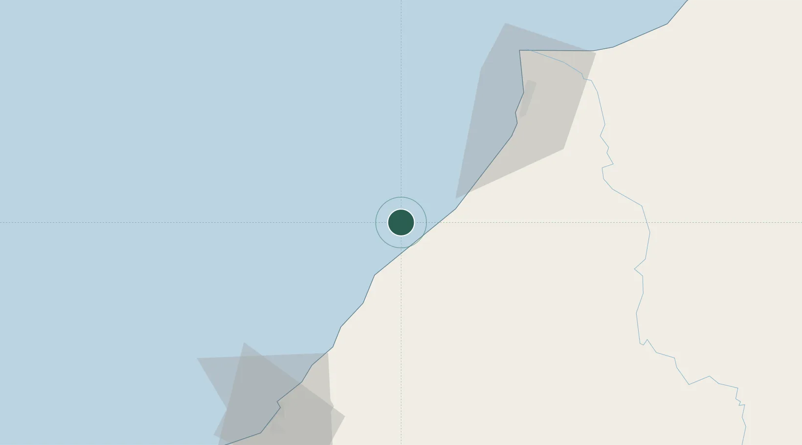
Nearby Logistics Neighbours

Cities
  1. 1Miri, Sarawak81 km
  2. 2Kuala Baram85 km
  3. 3Bintulu, Sarawak91 km
  4. 4Tubau93 km
  5. 5Bandar Seri Begawan187 km
Nearest neighbours — logibook spatial index (haversine) over the source coordinates
Ports
  1. 1Miri68 km
  2. 2Lutong77 km
  3. 3Bintulu Port92 km
  4. 4Kuala Belait106 km
  5. 5Seria Oil Loading Terminal114 km
Nearest neighbours — logibook spatial index (haversine) over the source coordinates
Airports
  1. 1Miri Airport65 km
  2. 2Marudi Airport92 km
  3. 3Bintulu Airport108 km
  4. 4Anduki Airport121 km
  5. 5Mulu Airport142 km
Nearest neighbours — logibook spatial index (haversine) over the source coordinates
Trade Zones
  1. 1Mas Cargo Free Zone, Penang65 km
  2. 2Muara Export Zone209 km
  3. 3Terunjing Free Trade Zone209 km
  4. 4Labuan Offshore Financial Centre241 km
  5. 5Sabah Development Corridor358 km
Nearest neighbours — logibook spatial index (haversine) over the source coordinates
DatabookThe Record of Consolidated Knowledge
Malaysia beyond logistics?
Browse databook

All Sources

LocationsUN/LOCODE
UN/LOCODE — free
Portsthe NGA World Port Index
Public domain (US gov)
AirportsOurAirports
Public domain
Trade Zonesthe World Bank SEZ database
CC BY 4.0
Trade ZonesOpen Zone Map
CC BY
← Malaysia locations