Special Economic Zone · Indonesia
Tanjung Api-api Special Economic Zone Under Development
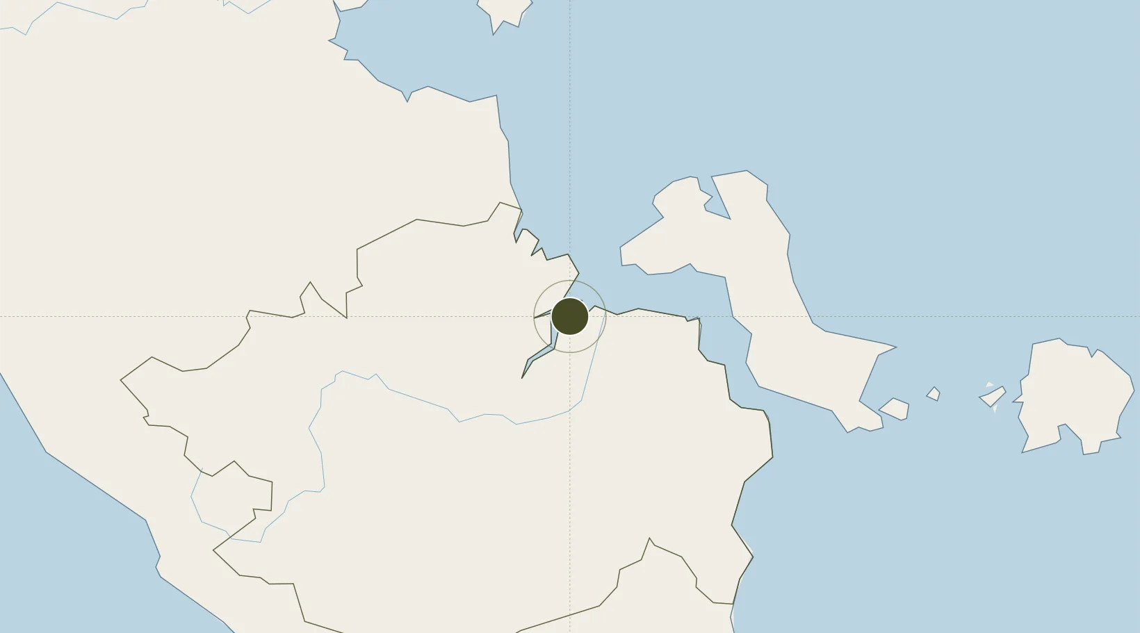
-2.3914°, 104.8277°
2,030 ha
Zone area
52.2 km
Nearest port
58.1 km
Nearest airport
Gateway access
Zone profile
Zone type
Special Economic Zone
Region
Sumatera Selatan
Status
Under Development
Established
2014
Management
Public agency
Operator
Government of South Sumatra
Regulatory authority
National Council and Zone Council
Legal framework
Law No 39 regarding Special Economic Zones
Location
Fiscal & incentives
Corporate tax
25%
Tax relief
20-100% exempt, depending on MoF discretion
Relief duration
5 - 15 years
VAT
100% exempt from VAT, luxury sales tax, and excise tax on raw materials
Import duty (inputs)
0% exempt
Import duty (capex)
0% exempt
Profit repatriation
No exemption
Capital gains
No exemption
Withholding tax
No exemption
Min. investment
$37M
Min. export
0%
Employment incentive
No exemption
Developer incentive
Yes
Nearby Logistics Neighbours
Ports
- 1Muntok52 km
- 2Sungaigerong66 km
- 3Palembang66 km
- 4Blinyu136 km
- 5Pangkalpinang148 km
Airports
- 1Sultan Mahmud Badaruddin II Airport58 km
- 2Pendopo Airport145 km
- 3Depati Amir Airport148 km
- 4Sultan Thaha Airport156 km
- 5Muara Bungo Airport309 km
Cities
- 1Palembang, Sumatra65 km
- 2Plaju, Sumatra66 km
- 3Exspan74 km
- 4Jambi, Sumatra159 km
- 5Tanjung Uban163 km
Trade Zones
- 1KEK Tanjung Kelayang315 km
- 2KEK Galang Batang368 km
- 3Karimun Free Trade Zone373 km
- 4Bintan Industrial Estate383 km
- 5Batamindo Industrial Park394 km
DatabookThe Record of Consolidated Knowledge
Indonesia beyond logistics?