Channel & Berth Profile
Pilotage, Tugs & Services
Pilotage availableYES
Pilotage advisableYES
Local assistanceYES
Tug assistanceYES
Potable waterYES
Diesel bunkersYES
MedicalYES
Garbage disposalNO
Facilities & Capabilities
Container—
Ro-Ro—
Liquid bulkYES
Dry bulkYES
Oil terminal—
Break bulkYES
Dry dock—
RepairsNO
Bunkering—
Rail link—
Dangerous cargo—
ISPS security—
Harbour Specifications
Harbour size
Very Small
Harbour type
Open Roadstead
Shelter
Poor
Water body
South China Sea; North Pacific Ocean
Tidal range
2 m
Overhead limit
Yes
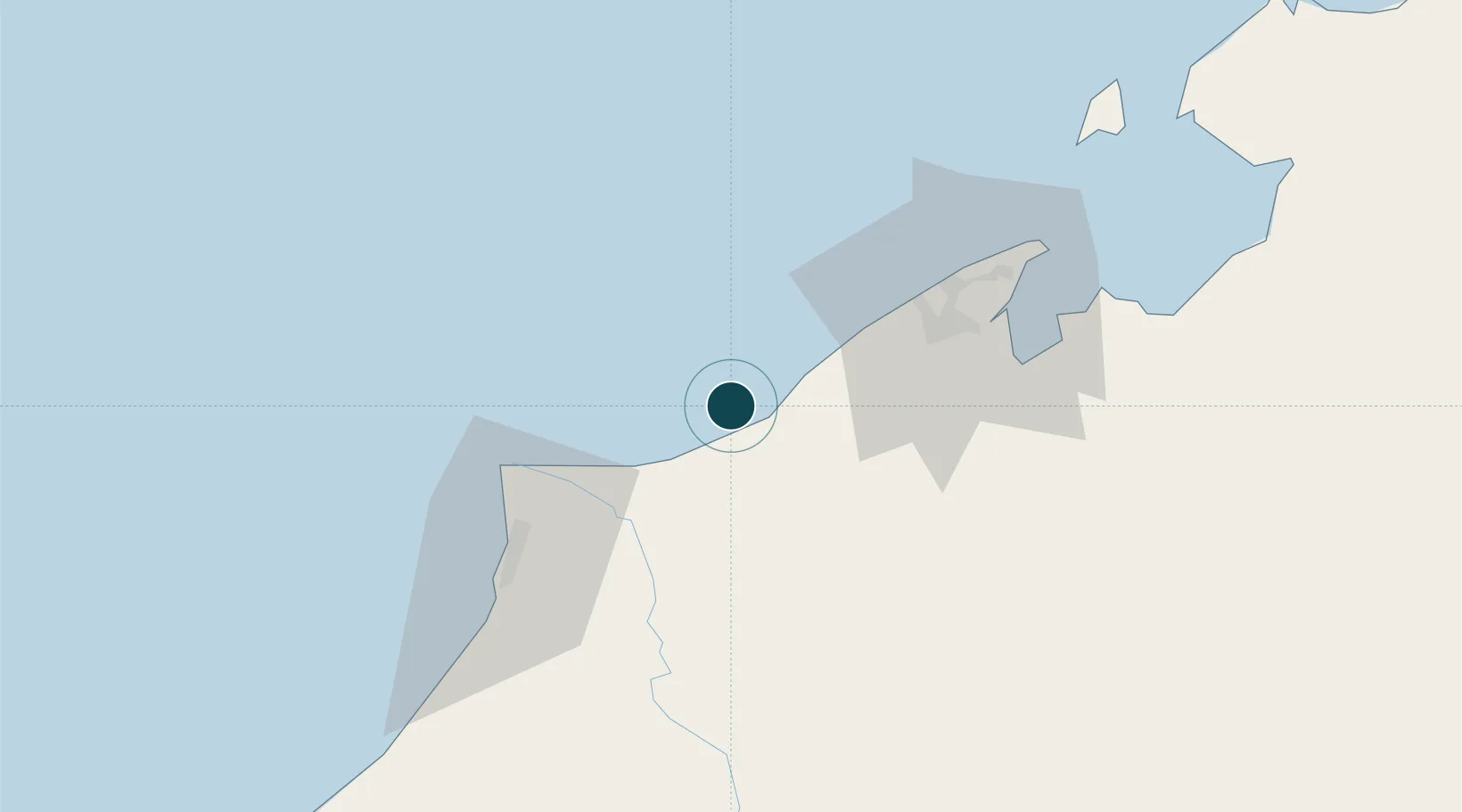
Location
Nearby Logistics Neighbours
Ports
- 1Seria Oil Loading Terminal19 km
- 2Kuala Belait29 km
- 3Bandar Seri Begawan52 km
- 4Lutong57 km
- 5Miri65 km
Cities
- 1Miri, Sarawak54 km
- 2Kuala Baram54 km
- 3Bandar Seri Begawan57 km
- 4Muara77 km
- 5Labuan107 km
Airports
- 1Anduki Airport12 km
- 2Brunei International Airport59 km
- 3Marudi Airport61 km
- 4Limbang Airport63 km
- 5Miri Airport68 km
Trade Zones
- 1Mas Cargo Free Zone, Penang68 km
- 2Muara Export Zone77 km
- 3Terunjing Free Trade Zone77 km
- 4Labuan Offshore Financial Centre108 km
- 5Sabah Development Corridor225 km
DatabookThe Record of Consolidated Knowledge
Brunei beyond logistics?