UN/LOCODE hub · Brunei
BNBWN
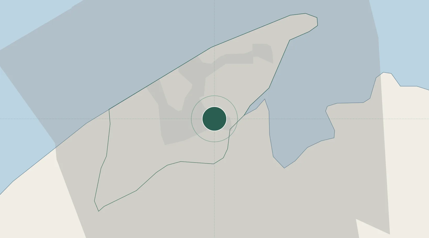
Bandar Seri Begawan
4.8833°, 114.9333°
64,409
Population
4
Transport functions
Transport Functions
Port
Road
Airport
Postal
Hub Profile
Place type
National capital
Region
Brunei-Muara District
Population
64,409
Time zone
Asia/Brunei
Elevation
10 m
Logistics facilities
1
Location
Nearby Logistics Neighbours
Cities
- 1Muara22 km
- 2Labuan55 km
- 3Menumbok67 km
- 4Beaufort103 km
- 5Miri, Sarawak110 km
Ports
- 1Muara Harbor22 km
- 2Lumut57 km
- 3Seria Oil Loading Terminal75 km
- 4Kuala Belait86 km
- 5Lutong113 km
Airports
- 1Brunei International Airport7 km
- 2Limbang Airport12 km
- 3Lawas Airport53 km
- 4Labuan Airport58 km
- 5Anduki Airport67 km
Trade Zones
- 1Muara Export Zone22 km
- 2Terunjing Free Trade Zone22 km
- 3Labuan Offshore Financial Centre56 km
- 4Mas Cargo Free Zone, Penang122 km
- 5Sabah Development Corridor172 km
DatabookThe Record of Consolidated Knowledge
Brunei beyond logistics?