Channel & Berth Profile
Pilotage, Tugs & Services
Pilotage compulsoryYES
Pilotage availableYES
Pilotage advisableYES
Local assistanceYES
Tug assistanceYES
Salvage tugsNO
Potable waterYES
Diesel bunkersNO
MedicalYES
Garbage disposalNO
Facilities & Capabilities
Container—
Ro-Ro—
Liquid bulkYES
Dry bulk—
Oil terminal—
Break bulk—
Dry dock—
RepairsNO
BunkeringYES
Rail link—
Dangerous cargo—
ISPS security—
Harbour Specifications
Harbour size
Very Small
Harbour type
Open Roadstead
Shelter
Poor
Water body
South China Sea; North Pacific Ocean
Tidal range
2 m
Pilotage
Yes
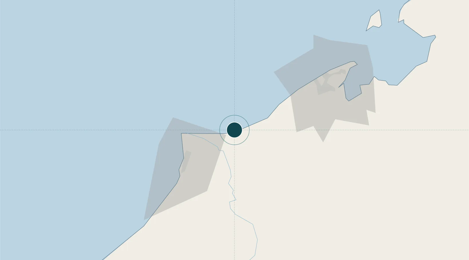
Location
Nearby Logistics Neighbours
Ports
- 1Kuala Belait13 km
- 2Lumut19 km
- 3Lutong39 km
- 4Miri47 km
- 5Bandar Seri Begawan69 km
Cities
- 1Miri, Sarawak36 km
- 2Kuala Baram37 km
- 3Bandar Seri Begawan75 km
- 4Muara95 km
- 5Samalaju114 km
Airports
- 1Anduki Airport7 km
- 2Marudi Airport49 km
- 3Miri Airport49 km
- 4Brunei International Airport77 km
- 5Limbang Airport80 km
Trade Zones
- 1Mas Cargo Free Zone, Penang49 km
- 2Muara Export Zone95 km
- 3Terunjing Free Trade Zone95 km
- 4Labuan Offshore Financial Centre127 km
- 5Sabah Development Corridor244 km
DatabookThe Record of Consolidated Knowledge
Brunei beyond logistics?