Runway & Layout

Airport Specifications
IATA code
ODN
ICAO code
WBGI
Airport class
Small airport
Scheduled service
Yes
Served city
Long Seridan
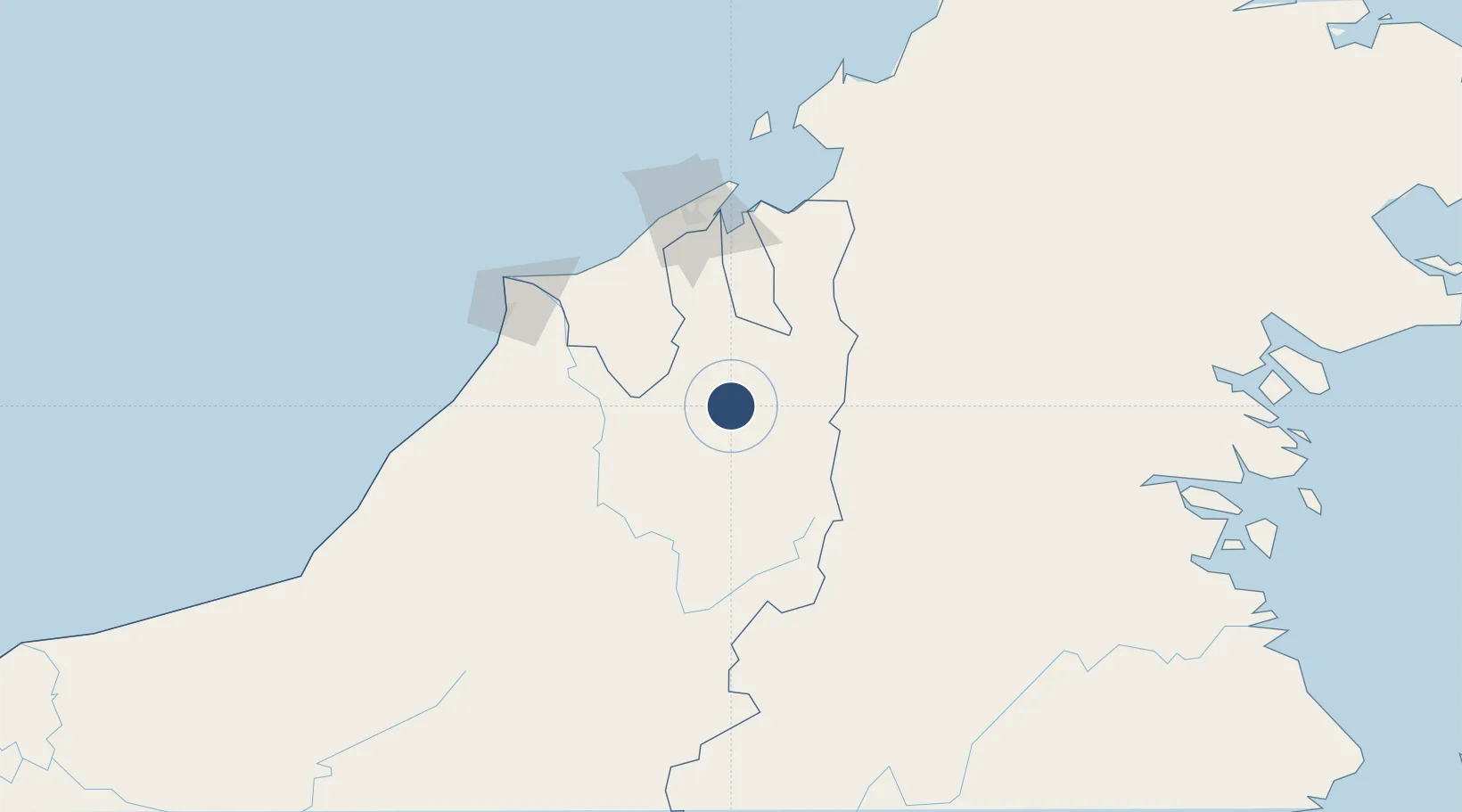
Location
Nearby Logistics Neighbours
Airports
- 1Mulu Airport30 km
- 2Bario Airport53 km
- 3Bakalalan Airport61 km
- 4Long Lellang Airport63 km
- 5Yuvai Semaring Airport70 km
Cities
- 1Bandar Seri Begawan102 km
- 2Muara117 km
- 3Miri, Sarawak129 km
- 4Kuala Baram137 km
- 5Labuan146 km
Ports
- 1Bandar Seri Begawan103 km
- 2Lumut107 km
- 3Seria Oil Loading Terminal110 km
- 4Muara Harbor118 km
- 5Kuala Belait121 km
Trade Zones
- 1Muara Export Zone117 km
- 2Terunjing Free Trade Zone117 km
- 3Mas Cargo Free Zone, Penang127 km
- 4Labuan Offshore Financial Centre146 km
- 5Sabah Development Corridor245 km
DatabookThe Record of Consolidated Knowledge
Malaysia beyond logistics?