Transport Functions
Port
Hub Profile
Logistics facilities
3
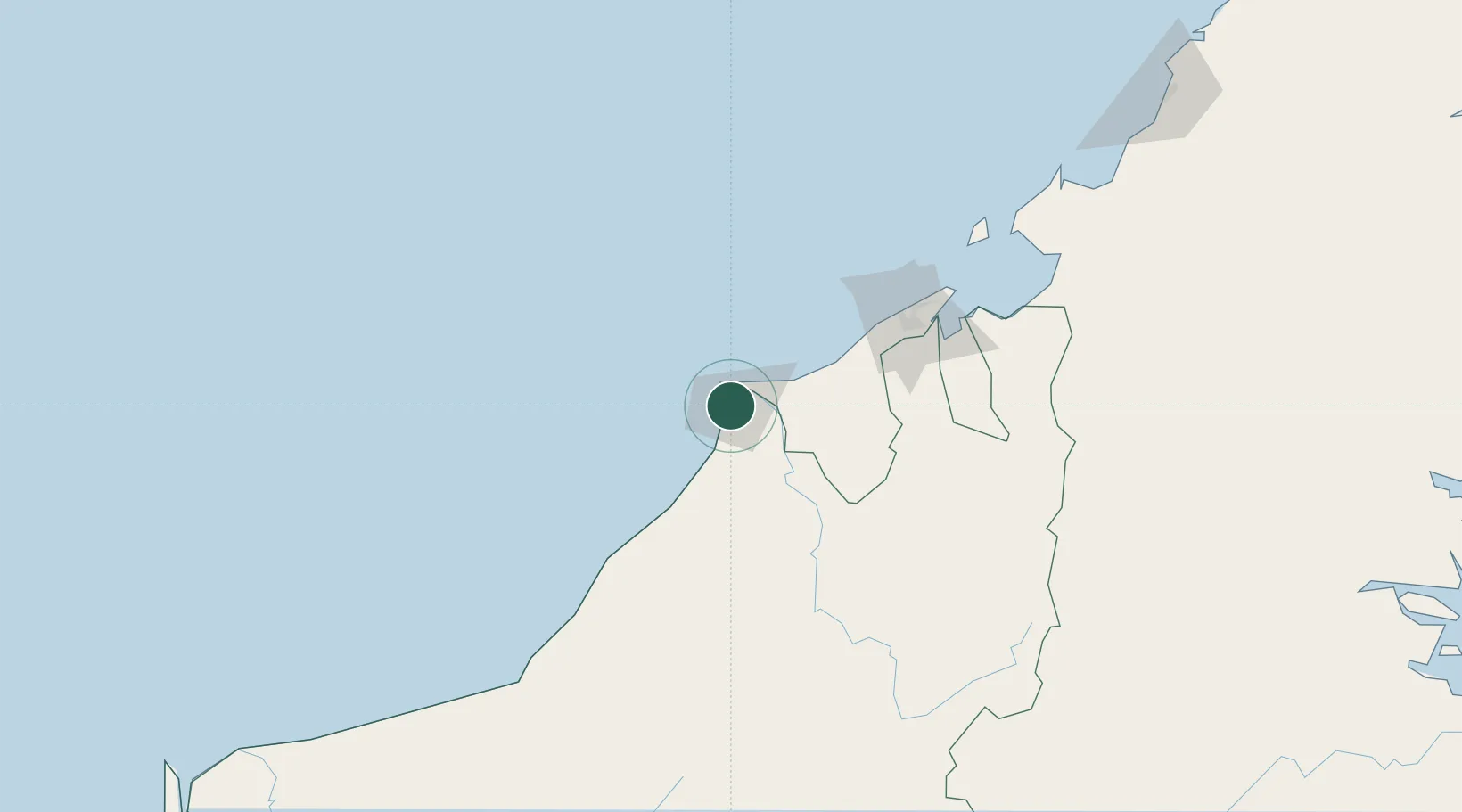
Location
Nearby Logistics Neighbours
Cities
- 1Kuala Baram10 km
- 2Samalaju81 km
- 3Bandar Seri Begawan110 km
- 4Muara131 km
- 5Tubau154 km
Ports
- 1Lutong3 km
- 2Kuala Belait26 km
- 3Seria Oil Loading Terminal36 km
- 4Lumut54 km
- 5Bandar Seri Begawan105 km
Airports
- 1Miri Airport19 km
- 2Anduki Airport43 km
- 3Marudi Airport48 km
- 4Mulu Airport99 km
- 5Brunei International Airport112 km
Trade Zones
- 1Mas Cargo Free Zone, Penang18 km
- 2Muara Export Zone131 km
- 3Terunjing Free Trade Zone131 km
- 4Labuan Offshore Financial Centre162 km
- 5Sabah Development Corridor279 km
DatabookThe Record of Consolidated Knowledge
Malaysia beyond logistics?