Transport Functions
Port
Hub Profile
Place type
Populated place
Time zone
Asia/Brunei
Elevation
6 m
Logistics facilities
2
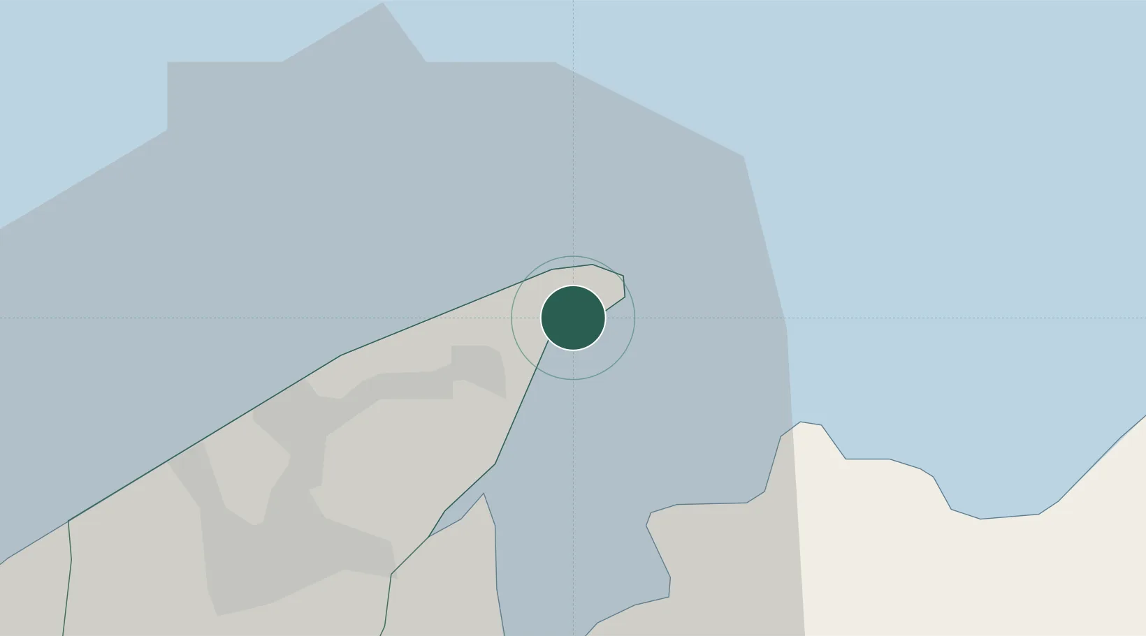
Location
Nearby Logistics Neighbours
Cities
- 1Bandar Seri Begawan22 km
- 2Labuan33 km
- 3Menumbok45 km
- 4Beaufort83 km
- 5Batu Batu, Sabah97 km
Ports
- 1Bandar Seri Begawan26 km
- 2Lumut77 km
- 3Seria Oil Loading Terminal95 km
- 4Kuala Belait106 km
- 5Lutong134 km
Airports
- 1Brunei International Airport18 km
- 2Limbang Airport25 km
- 3Labuan Airport37 km
- 4Lawas Airport42 km
- 5Anduki Airport88 km
Trade Zones
DatabookThe Record of Consolidated Knowledge
Brunei beyond logistics?