Medium airport · Malaysia
Mulu AirportWBMU
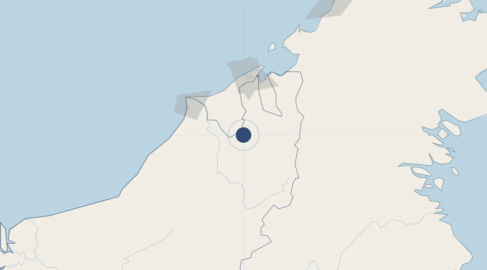
4.0483°, 114.8050°
4,921 ft
Longest runway
1
Runways
80 ft
Elevation
Runway & Layout

Radio Frequencies
APP
129.2 MHz
TWR
Navaids
MZU NDB Mulu 505 kHz
VZU VOR-DME Mulu 112.80 MHz
Runways · 1
| Runway | Dimensions | Surface | True heading | Lit |
|---|---|---|---|---|
| 03/21 | 4,921 × 100ft | Asphalt | 035° | ✓ |
Airport Specifications
IATA code
MZV
ICAO code
WBMU
Airport class
Medium airport
Scheduled service
Yes
Runway surface
Asphalt
Served city
Mulu
Location
Nearby Logistics Neighbours
Airports
- 1Long Seridan Airport30 km
- 2Marudi Airport55 km
- 3Long Lellang Airport80 km
- 4Anduki Airport81 km
- 5Bario Airport83 km
Cities
- 1Bandar Seri Begawan94 km
- 2Miri, Sarawak99 km
- 3Kuala Baram108 km
- 4Muara112 km
- 5Samalaju142 km
Ports
- 1Seria Oil Loading Terminal83 km
- 2Lumut84 km
- 3Bandar Seri Begawan93 km
- 4Kuala Belait93 km
- 5Miri100 km
Trade Zones
- 1Mas Cargo Free Zone, Penang96 km
- 2Muara Export Zone113 km
- 3Terunjing Free Trade Zone113 km
- 4Labuan Offshore Financial Centre145 km
- 5Sabah Development Corridor253 km
DatabookThe Record of Consolidated Knowledge
Malaysia beyond logistics?