Channel & Berth Profile
Pilotage, Tugs & Services
Pilotage availableYES
Potable waterYES
Diesel bunkersYES
MedicalYES
Facilities & Capabilities
Container—
Ro-Ro—
Liquid bulk—
Dry bulk—
Oil terminal—
Break bulk—
Dry dock—
RepairsNO
Bunkering—
Rail link—
Dangerous cargo—
ISPS security—
Harbour Specifications
Harbour size
Small
Harbour type
River (Natural)
Shelter
Good
Water body
South China Sea; North Pacific Ocean
Tidal range
5 m
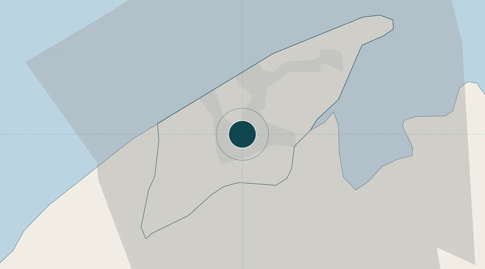
Location
Nearby Logistics Neighbours
Ports
- 1Muara Harbor26 km
- 2Lumut52 km
- 3Seria Oil Loading Terminal69 km
- 4Kuala Belait81 km
- 5Lutong108 km
Cities
- 1Muara26 km
- 2Labuan59 km
- 3Menumbok71 km
- 4Miri, Sarawak105 km
- 5Kuala Baram106 km
Airports
- 1Brunei International Airport8 km
- 2Limbang Airport16 km
- 3Lawas Airport58 km
- 4Labuan Airport62 km
- 5Anduki Airport62 km
Trade Zones
- 1Muara Export Zone26 km
- 2Terunjing Free Trade Zone26 km
- 3Labuan Offshore Financial Centre60 km
- 4Mas Cargo Free Zone, Penang118 km
- 5Sabah Development Corridor176 km
DatabookThe Record of Consolidated Knowledge
Brunei beyond logistics?