Transport Functions
Port
Road
Hub Profile
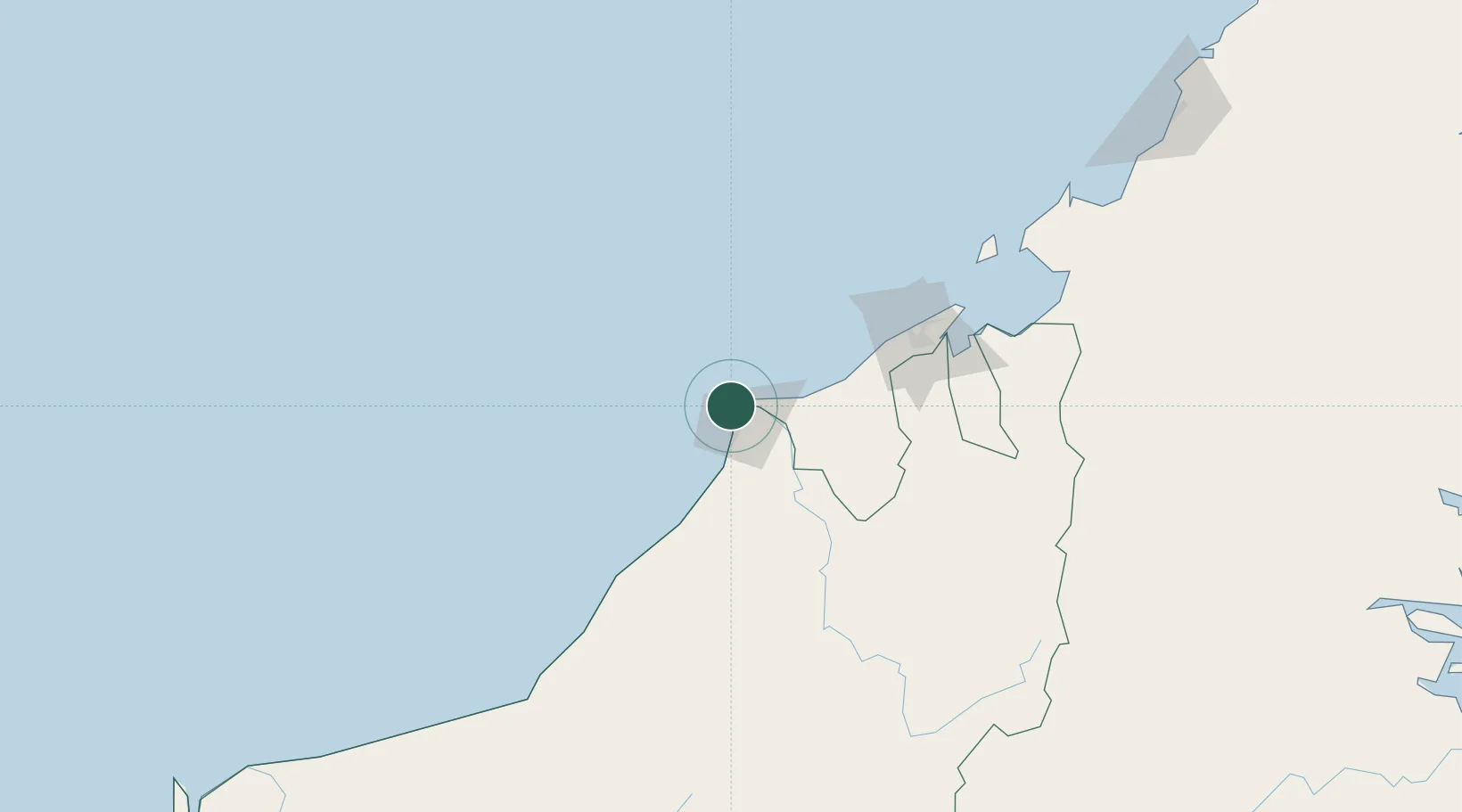
Place type
Populated place
Region
Sarawak
Population
2,600
Time zone
Asia/Kuching
Elevation
6 m
Location
Nearby Logistics Neighbours
Cities
- 1Miri, Sarawak10 km
- 2Samalaju85 km
- 3Bandar Seri Begawan111 km
- 4Muara131 km
- 5Labuan160 km
Ports
- 1Lutong11 km
- 2Miri21 km
- 3Kuala Belait25 km
- 4Seria Oil Loading Terminal37 km
- 5Lumut54 km
Airports
- 1Miri Airport27 km
- 2Anduki Airport45 km
- 3Marudi Airport58 km
- 4Mulu Airport108 km
- 5Brunei International Airport113 km
Trade Zones
- 1Mas Cargo Free Zone, Penang27 km
- 2Muara Export Zone131 km
- 3Terunjing Free Trade Zone131 km
- 4Labuan Offshore Financial Centre161 km
- 5Sabah Development Corridor277 km
DatabookThe Record of Consolidated Knowledge
Malaysia beyond logistics?