Free Trade Zone · Malaysia

Labuan Offshore Financial Centre Active
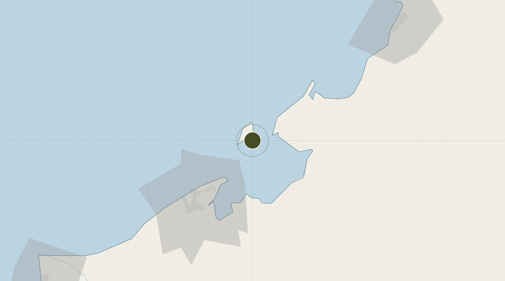
5.2766°, 115.2470°
9,200 ha
Zone area
33.6 km
Nearest port
2.8 km
Nearest airport

Gateway access

Nearest neighbours — logibook spatial index (haversine) over the source coordinates

Zone profile

Zone type
Free Trade Zone
Open Zone Map
Region
Labuan
Open Zone Map
Status
Active
Open Zone Map
Management
Public
Open Zone Map
Operator
The Labuan Financial Services Authority (Labuan FSA)
Open Zone Map
Legal framework
Free Zones Act of 1990 (Act 438),
Open Zone Map

Location

Location of ozm-2813
Natural Earth 10m (public domain) · Labuan · ozm-2813 · 5.28, 115.25GoogleOSMYandex

Nearby Logistics Neighbours

Ports
  1. 1Muara Harbor34 km
  2. 2Bandar Seri Begawan60 km
  3. 3Lumut108 km
  4. 4Kota Kinabalu120 km
  5. 5Seria Oil Loading Terminal127 km
Nearest neighbours — logibook spatial index (haversine) over the source coordinates
Airports
  1. 1Labuan Airport3 km
  2. 2Lawas Airport51 km
  3. 3Brunei International Airport51 km
  4. 4Limbang Airport58 km
  5. 5Kota Kinabalu International Airport115 km
Nearest neighbours — logibook spatial index (haversine) over the source coordinates
Cities
  1. 1Labuan1 km
  2. 2Menumbok14 km
  3. 3Muara34 km
  4. 4Bandar Seri Begawan56 km
  5. 5Beaufort56 km
Nearest neighbours — logibook spatial index (haversine) over the source coordinates
Trade Zones
  1. 1Muara Export Zone34 km
  2. 2Terunjing Free Trade Zone34 km
  3. 3Sabah Development Corridor117 km
  4. 4Mas Cargo Free Zone, Penang176 km
  5. 5Layang-Layang Island Commercial Free Zone282 km
Nearest neighbours — logibook spatial index (haversine) over the source coordinates
DatabookThe Record of Consolidated Knowledge
Malaysia beyond logistics?
Browse databook

All Sources

Trade ZonesOpen Zone Map
CC BY
Portsthe NGA World Port Index
Public domain (US gov)
AirportsOurAirports
Public domain
LocationsUN/LOCODE
UN/LOCODE — free
← Malaysia trade zones