Free Trade Zone · Brunei

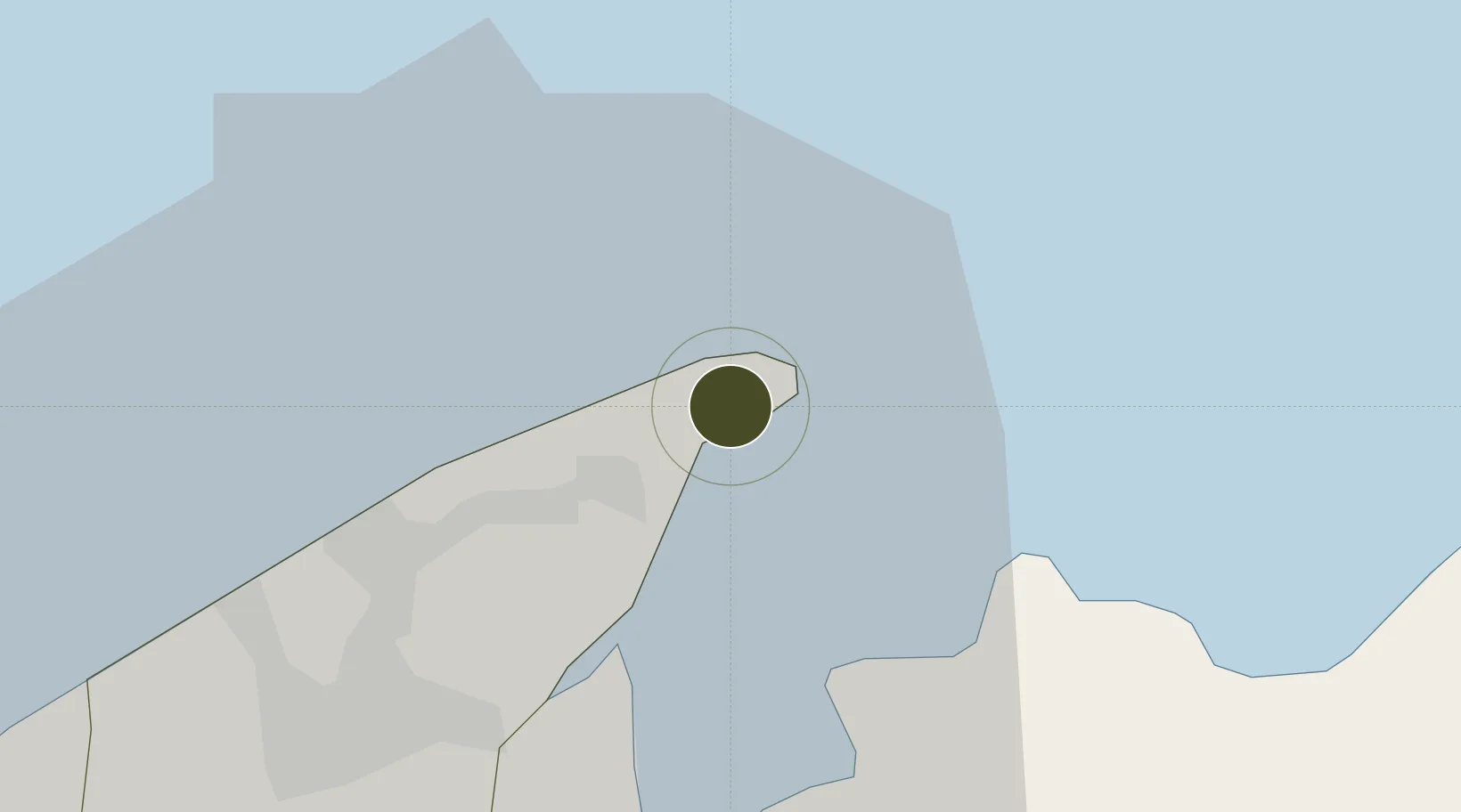
Terunjing Free Trade Zone Active

5.0308°, 115.0706°
95 ha
Zone area
0.5 km
Nearest port
18.5 km
Nearest airport

Gateway access

Nearest neighbours — logibook spatial index (haversine) over the source coordinates

Zone profile

Zone type
Free Trade Zone
Open Zone Map
Region
Brunei and Muara
Open Zone Map
Status
Active
Open Zone Map
Management
Public
Open Zone Map
Operator
Darussalam Enterprise (DARe)
Open Zone Map
Legal framework
Free Trade Zone Order 31St Dec. 2014
Open Zone Map

Location

Location of ozm-234
Natural Earth 10m (public domain) · Brunei and Muara · ozm-234 · 5.03, 115.07GoogleOSMYandex

Nearby Logistics Neighbours

Ports
  1. 1Muara Harbor1 km
  2. 2Bandar Seri Begawan26 km
  3. 3Lumut77 km
  4. 4Seria Oil Loading Terminal95 km
  5. 5Kuala Belait106 km
Nearest neighbours — logibook spatial index (haversine) over the source coordinates
Airports
  1. 1Brunei International Airport19 km
  2. 2Limbang Airport26 km
  3. 3Labuan Airport36 km
  4. 4Lawas Airport43 km
  5. 5Anduki Airport88 km
Nearest neighbours — logibook spatial index (haversine) over the source coordinates
Cities
  1. 1Muara1 km
  2. 2Bandar Seri Begawan22 km
  3. 3Labuan33 km
  4. 4Menumbok44 km
  5. 5Beaufort82 km
Nearest neighbours — logibook spatial index (haversine) over the source coordinates
Trade Zones
  1. 1Muara Export Zone0 km
  2. 2Labuan Offshore Financial Centre34 km
  3. 3Mas Cargo Free Zone, Penang144 km
  4. 4Sabah Development Corridor150 km
  5. 5Layang-Layang Island Commercial Free Zone295 km
Nearest neighbours — logibook spatial index (haversine) over the source coordinates
DatabookThe Record of Consolidated Knowledge
Brunei beyond logistics?
Browse databook

All Sources

Trade ZonesOpen Zone Map
CC BY
Portsthe NGA World Port Index
Public domain (US gov)
AirportsOurAirports
Public domain
LocationsUN/LOCODE
UN/LOCODE — free
← Brunei trade zones