Medium airport · Indonesia
Sangia Nibandera AirportWAWP
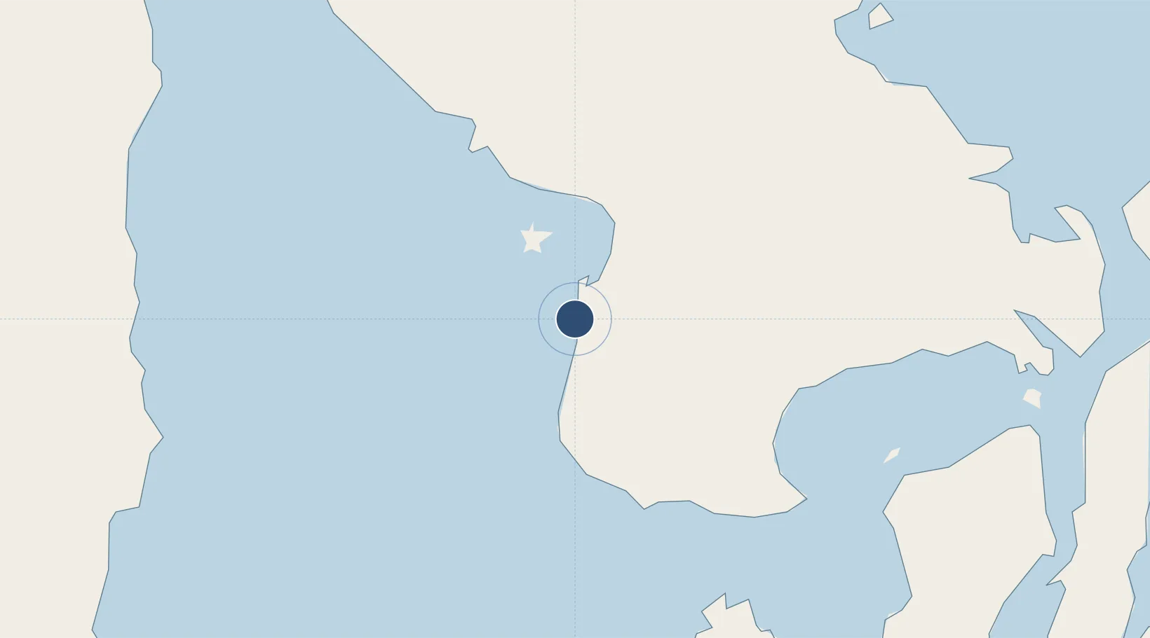
-4.3382°, 121.5240°
6,070 ft
Longest runway
1
Runways
40 ft
Elevation
Runway & Layout

Runways · 1
| Runway | Dimensions | Surface | True heading | Lit |
|---|---|---|---|---|
| 18/36 | 6,070 × —ft | Asphalt | — | — |
Airport Specifications
IATA code
KXB
ICAO code
WAWP
Airport class
Medium airport
Scheduled service
Yes
Runway surface
Asphalt
Served city
Kolaka
Location
Nearby Logistics Neighbours
Airports
- 1Haluoleo Airport103 km
- 2Bua - Palopo Lagaligo Airport199 km
- 3Toraja Airport220 km
- 4Sultan Hasanuddin International Airport233 km
- 5Selayar - Haji Aroeppala Airport237 km
Cities
- 1Kolaka32 km
- 2Pomalaa, Sulawesi35 km
- 3Kendari, Sulawesi126 km
- 4Palapo, Sulawesi200 km
- 5Biringkassi232 km
Ports
- 1Pomalaa21 km
- 2Kendari125 km
- 3Raha Roadstead146 km
- 4Baubau174 km
- 5Parepare215 km
Trade Zones
- 1Morowali Industrial Park183 km
- 2Bantaeng Industrial Park (BIP)214 km
- 3Kawasan Industri Makassar240 km
- 4Terpadu Takalar Industrial Estate266 km
- 5Palu Special Economic Zone443 km
DatabookThe Record of Consolidated Knowledge
Indonesia beyond logistics?