UN/LOCODE hub · Indonesia
IDPUM

Pomalaa, Sulawesi

-4.0333°, 121.5833°
3
Transport functions

Transport Functions

Port
Road
Airport
Pomalaa, Sulawesi is also a profiled seaport →
UN/LOCODE

Location

Location of IDPUM
Natural Earth 10m (public domain) · Sulawesi Tenggara · IDPUM · -4.03, 121.58GoogleOSMYandex

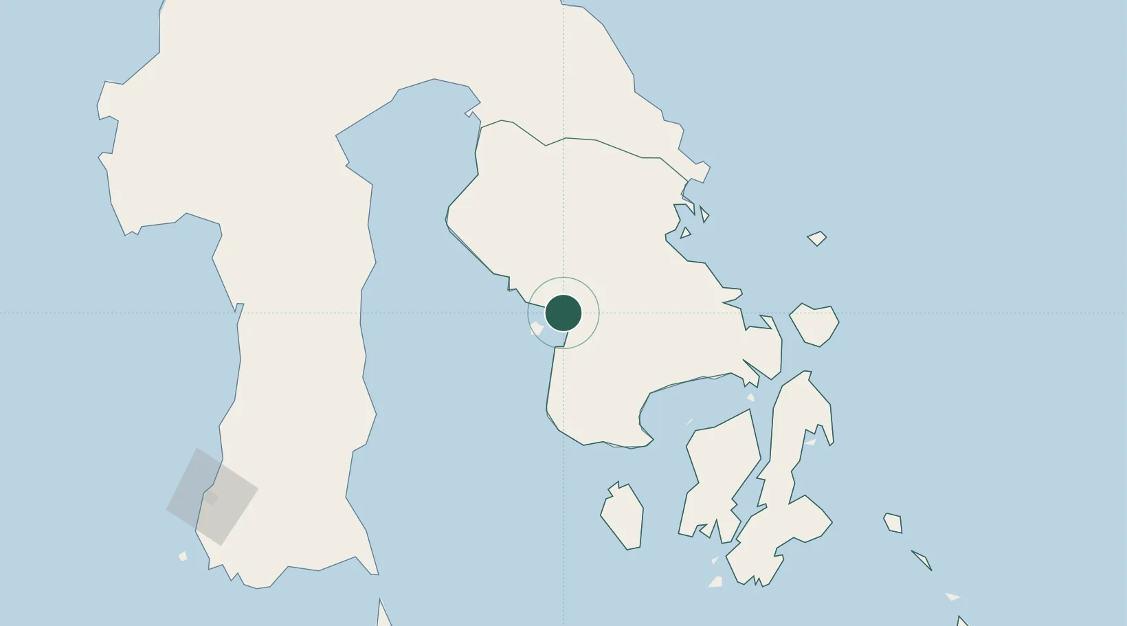
Nearby Logistics Neighbours

Cities
  1. 1Kolaka3 km
  2. 2Kendari, Sulawesi113 km
  3. 3Palapo, Sulawesi183 km
  4. 4Kolonodale232 km
  5. 5Morowali241 km
Nearest neighbours — logibook spatial index (haversine) over the source coordinates
Ports
  1. 1Kendari111 km
  2. 2Raha Roadstead157 km
  3. 3Baubau196 km
  4. 4Parepare218 km
  5. 5Kolonodale230 km
Nearest neighbours — logibook spatial index (haversine) over the source coordinates
Airports
  1. 1Sangia Nibandera Airport35 km
  2. 2Haluoleo Airport93 km
  3. 3Bua - Palopo Lagaligo Airport182 km
  4. 4Maleo Airport204 km
  5. 5Toraja Airport208 km
Nearest neighbours — logibook spatial index (haversine) over the source coordinates
Trade Zones
  1. 1Morowali Industrial Park149 km
  2. 2Bantaeng Industrial Park (BIP)241 km
  3. 3Kawasan Industri Makassar260 km
  4. 4Terpadu Takalar Industrial Estate289 km
  5. 5Palu Special Economic Zone415 km
Nearest neighbours — logibook spatial index (haversine) over the source coordinates
DatabookThe Record of Consolidated Knowledge
Indonesia beyond logistics?
Browse databook

All Sources

LocationsUN/LOCODE
UN/LOCODE — free
Portsthe NGA World Port Index
Public domain (US gov)
AirportsOurAirports
Public domain
Trade Zonesthe World Bank SEZ database
CC BY 4.0
Trade ZonesOpen Zone Map
CC BY
← Indonesia locations