Runway & Layout

Airport Specifications
IATA code
KSR
ICAO code
WAWH
Airport class
Small airport
Scheduled service
Yes
Served city
Benteng
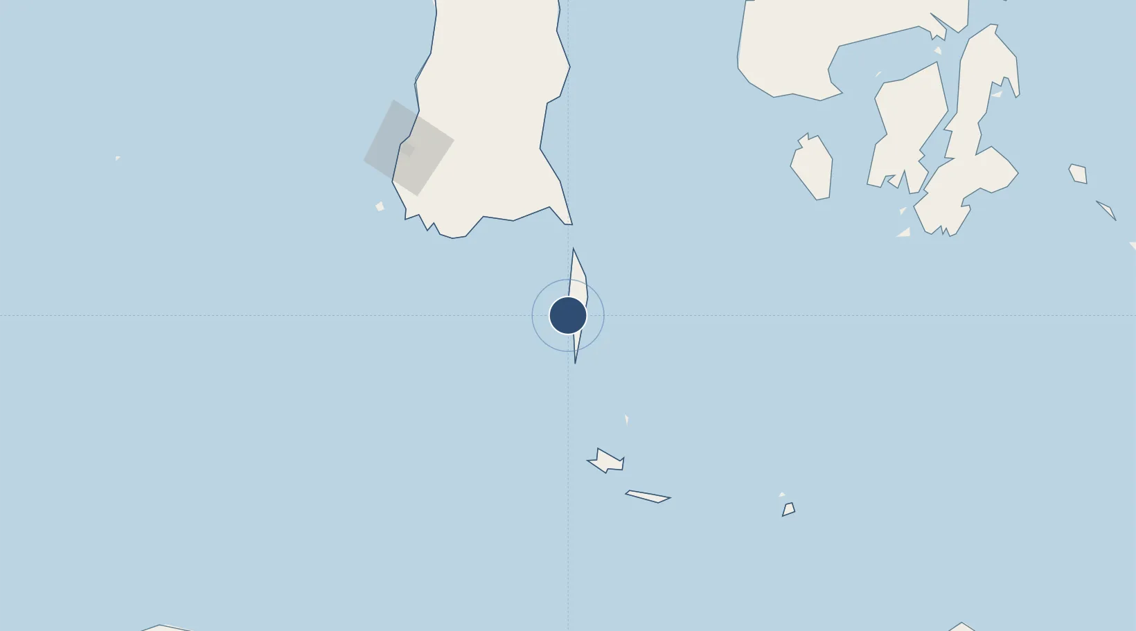
Location
Nearby Logistics Neighbours
Airports
- 1Sultan Hasanuddin International Airport157 km
- 2Sangia Nibandera Airport237 km
- 3Komodo Airport263 km
- 4Frans Sales Lega Airport269 km
- 5Haluoleo Airport320 km
Cities
- 1Panakukang161 km
- 2Shahriar161 km
- 3Makassar162 km
- 4Biringkassi185 km
- 5Reo238 km
Ports
- 1Ujung Pandang163 km
- 2Baubau254 km
- 3Pomalaa258 km
- 4Parepare259 km
- 5Raha Roadstead294 km
Trade Zones
- 1Bantaeng Industrial Park (BIP)94 km
- 2Terpadu Takalar Industrial Estate138 km
- 3Kawasan Industri Makassar158 km
- 4Morowali Industrial Park419 km
- 5KEK Mandalika547 km
DatabookThe Record of Consolidated Knowledge
Indonesia beyond logistics?