Transport Functions
Port
Hub Profile
Place type
Provincial seat
Region
Southeast Sulawesi
Time zone
Asia/Makassar
Elevation
0 m
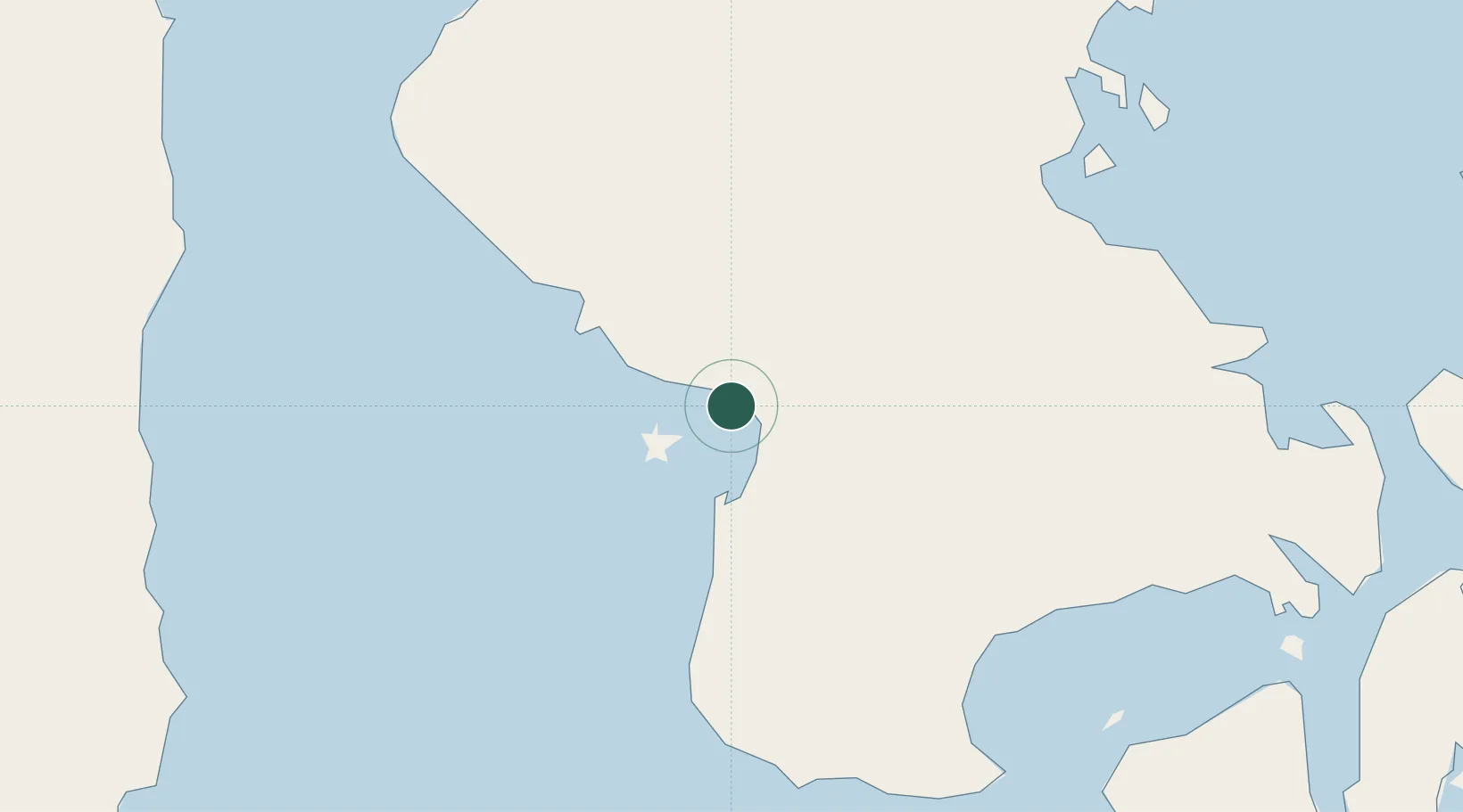
Location
Nearby Logistics Neighbours
Cities
- 1Pomalaa, Sulawesi3 km
- 2Kendari, Sulawesi115 km
- 3Palapo, Sulawesi183 km
- 4Kolonodale233 km
- 5Morowali243 km
Ports
- 1Pomalaa14 km
- 2Kendari113 km
- 3Raha Roadstead157 km
- 4Baubau196 km
- 5Parepare216 km
Airports
- 1Sangia Nibandera Airport32 km
- 2Haluoleo Airport95 km
- 3Bua - Palopo Lagaligo Airport182 km
- 4Maleo Airport206 km
- 5Toraja Airport207 km
Trade Zones
- 1Morowali Industrial Park151 km
- 2Bantaeng Industrial Park (BIP)238 km
- 3Kawasan Industri Makassar258 km
- 4Terpadu Takalar Industrial Estate286 km
- 5Palu Special Economic Zone416 km
DatabookThe Record of Consolidated Knowledge
Indonesia beyond logistics?