UN/LOCODE hub · Indonesia
IDKDI
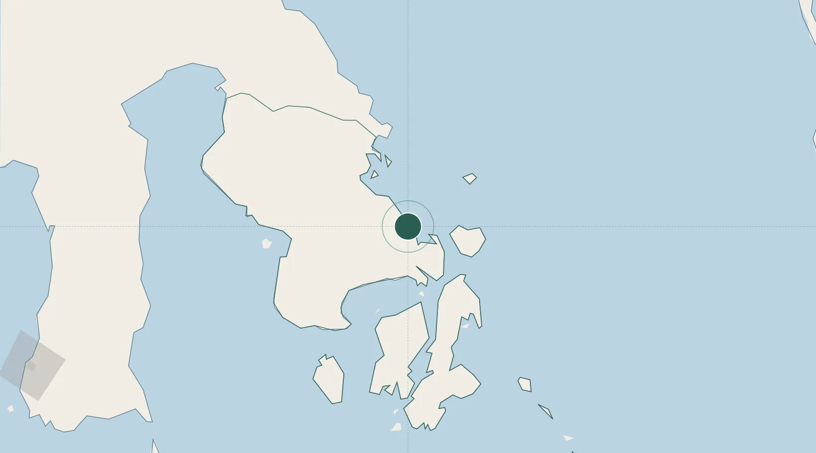
Kendari, Sulawesi
-3.9835°, 122.6028°
2
Transport functions
1
Container terminals
Transport Functions
Port
Airport
Hub Profile
Logistics facilities
2
Container terminals
1
Location
Nearby Logistics Neighbours
Cities
- 1Pomalaa, Sulawesi113 km
- 2Kolaka115 km
- 3Kolonodale265 km
- 4Morowali265 km
- 5Donggi275 km
Ports
- 1Raha Roadstead97 km
- 2Pomalaa113 km
- 3Baubau165 km
- 4Kolonodale263 km
- 5Parepare331 km
Airports
- 1Haluoleo Airport23 km
- 2Sangia Nibandera Airport126 km
- 3Matahora Airport185 km
- 4Maleo Airport224 km
- 5Bua - Palopo Lagaligo Airport280 km
Trade Zones
- 1Morowali Industrial Park138 km
- 2Bantaeng Industrial Park (BIP)336 km
- 3Kawasan Industri Makassar366 km
- 4Terpadu Takalar Industrial Estate390 km
- 5Palu Special Economic Zone474 km
DatabookThe Record of Consolidated Knowledge
Indonesia beyond logistics?