Channel & Berth Profile
Pilotage, Tugs & Services
Pilotage compulsoryNO
Pilotage availableYES
Pilotage advisableYES
Local assistanceYES
Tug assistanceYES
Salvage tugsNO
Potable waterYES
Diesel bunkersNO
MedicalYES
Facilities & Capabilities
Container—
Ro-Ro—
Liquid bulk—
Dry bulk—
Oil terminal—
Break bulk—
Dry dock—
Repairs—
BunkeringNO
Rail link—
Dangerous cargo—
ISPS security—
Harbour Specifications
Harbour size
Very Small
Harbour type
Coastal (Natural)
Shelter
Fair
Water body
Teluk Bone; Banda Sea; South Pacific Ocean
Pilotage
No
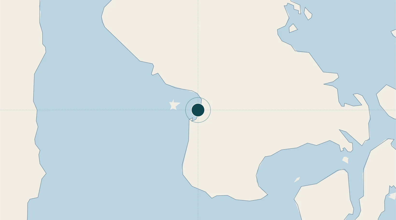
Location
Nearby Logistics Neighbours
Ports
- 1Kendari111 km
- 2Raha Roadstead147 km
- 3Baubau183 km
- 4Parepare221 km
- 5Kolonodale245 km
Cities
- 1Kolaka14 km
- 2Kendari, Sulawesi113 km
- 3Palapo, Sulawesi194 km
- 4Biringkassi246 km
- 5Kolonodale246 km
Airports
- 1Sangia Nibandera Airport21 km
- 2Haluoleo Airport91 km
- 3Bua - Palopo Lagaligo Airport193 km
- 4Toraja Airport216 km
- 5Maleo Airport219 km
Trade Zones
- 1Morowali Industrial Park162 km
- 2Bantaeng Industrial Park (BIP)233 km
- 3Kawasan Industri Makassar255 km
- 4Terpadu Takalar Industrial Estate282 km
- 5Palu Special Economic Zone430 km
DatabookThe Record of Consolidated Knowledge
Indonesia beyond logistics?