Medium airport · Nepal

Pokhara Domestic AirportVNPK
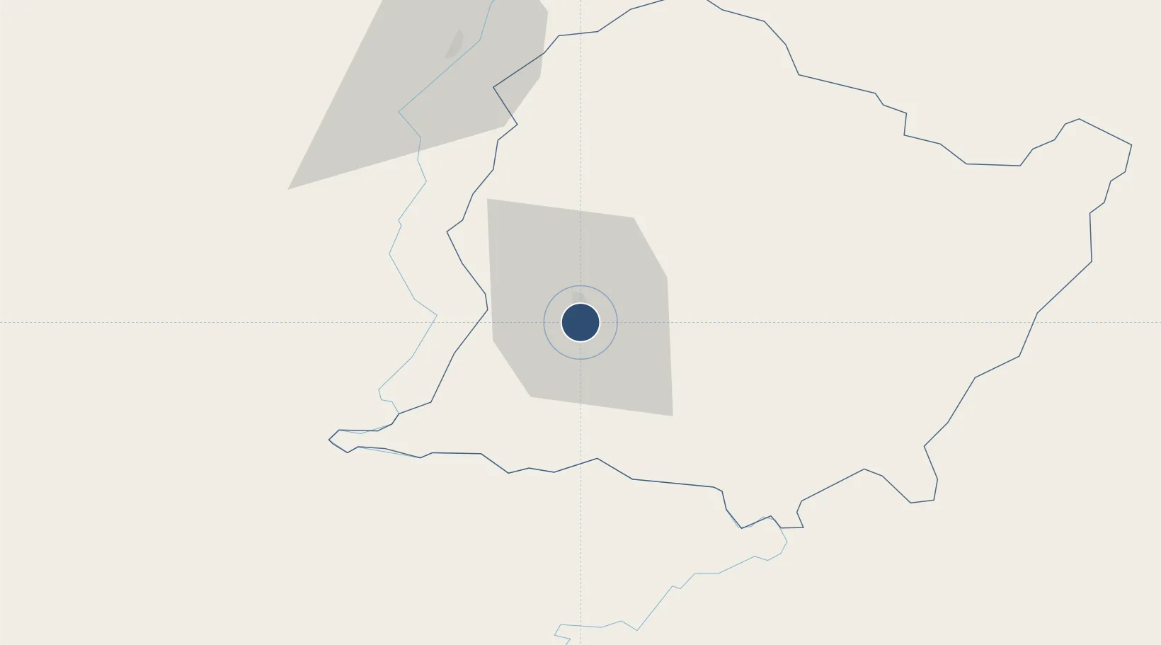
28.2006°, 83.9812°
4,720 ft
Longest runway
1
Runways
2,712 ft
Elevation

Runway & Layout

Pokhara Domestic Airport runway & taxiway layout
Runway & taxiway layout — OpenStreetMap (ODbL) / OurAirports

Radio Frequencies

TWR
123.8 MHz
OurAirports

Navaids

PHR NDB-DME Pokhara 0.34 MHz
OurAirports

Runways · 1

RunwayDimensions SurfaceTrue headingLit
04/22 4,720 × 100ft Asphalt 039°
OurAirports

Airport Specifications

IATA code
PKR
OurAirports
ICAO code
VNPK
OurAirports
Airport class
Medium airport
OurAirports
Scheduled service
Yes
OurAirports
Runway surface
Asphalt
OurAirports
Served city
Pokhara
OurAirports

Location

Location of VNPK
Natural Earth 10m (public domain) · Gandaki · VNPK · 28.20, 83.98GoogleOSMYandex

Nearby Logistics Neighbours

Airports
  1. 1Pokhara International Airport4 km
  2. 2Jomsom Airport69 km
  3. 3Bharatpur Airport73 km
  4. 4Gautam Buddha International Airport95 km
  5. 5Dolpa Airport143 km
Nearest neighbours — logibook spatial index (haversine) over the source coordinates
Cities
  1. 1Nawalparasi80 km
  2. 2Triveni84 km
  3. 3Bhairahawa94 km
  4. 4Sikta Lcs129 km
  5. 5Birgunj ICD158 km
Nearest neighbours — logibook spatial index (haversine) over the source coordinates
Ports
  1. 1Calcutta765 km
  2. 2Haldia Port802 km
  3. 3Mongla851 km
  4. 4Dhamra875 km
  5. 5Paradip924 km
Nearest neighbours — logibook spatial index (haversine) over the source coordinates
Trade Zones
  1. 1Kaspilvastu Special Economic Zone85 km
  2. 2Bhairahawa Special Economic Zone94 km
  3. 3Nuwakot Special Economic Zone111 km
  4. 4Panchkhal Special Economic Zone175 km
  5. 5Rautahat Special Economic Zone201 km
Nearest neighbours — logibook spatial index (haversine) over the source coordinates
DatabookThe Record of Consolidated Knowledge
Nepal beyond logistics?
Browse databook

All Sources

AirportsOurAirports
Public domain
Portsthe NGA World Port Index
Public domain (US gov)
LocationsUN/LOCODE
UN/LOCODE — free
Trade Zonesthe World Bank SEZ database
CC BY 4.0
Trade ZonesOpen Zone Map
CC BY
InfrastructureOpenStreetMap
ODbL 1.0
← Nepal airports