Transport Functions
Port
Multimodal
Hub Profile
Region
LU
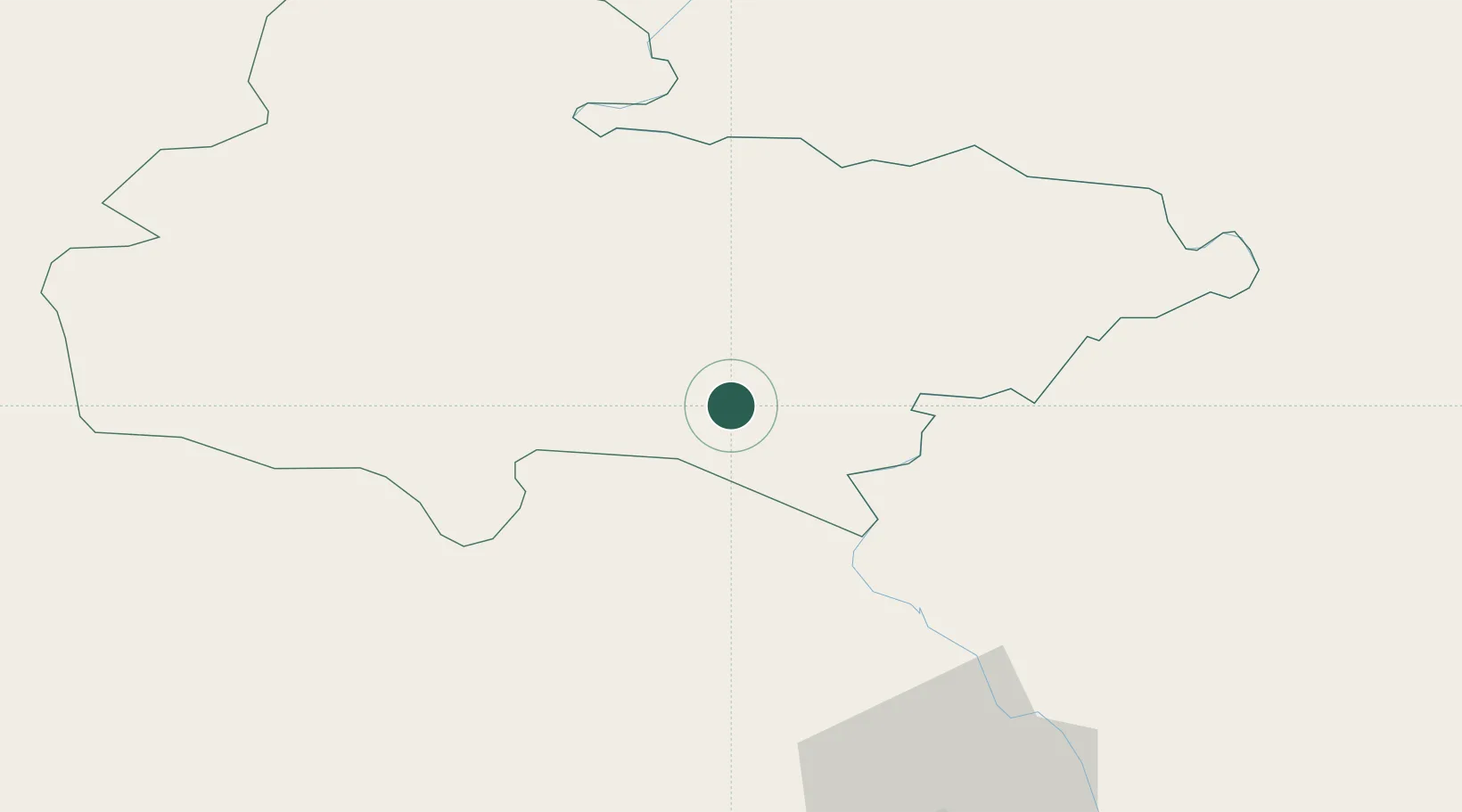
Location
Nearby Logistics Neighbours
Cities
- 1Bhairahawa22 km
- 2Triveni25 km
- 3Sikta Lcs69 km
- 4Gorakhpur93 km
- 5Birgunj ICD132 km
Ports
- 1Calcutta727 km
- 2Haldia Port758 km
- 3Dhamra818 km
- 4Mongla821 km
- 5Paradip864 km
Airports
Trade Zones
DatabookThe Record of Consolidated Knowledge
Nepal beyond logistics?