Diversified Zone · Nepal

Nuwakot Special Economic Zone Under Development
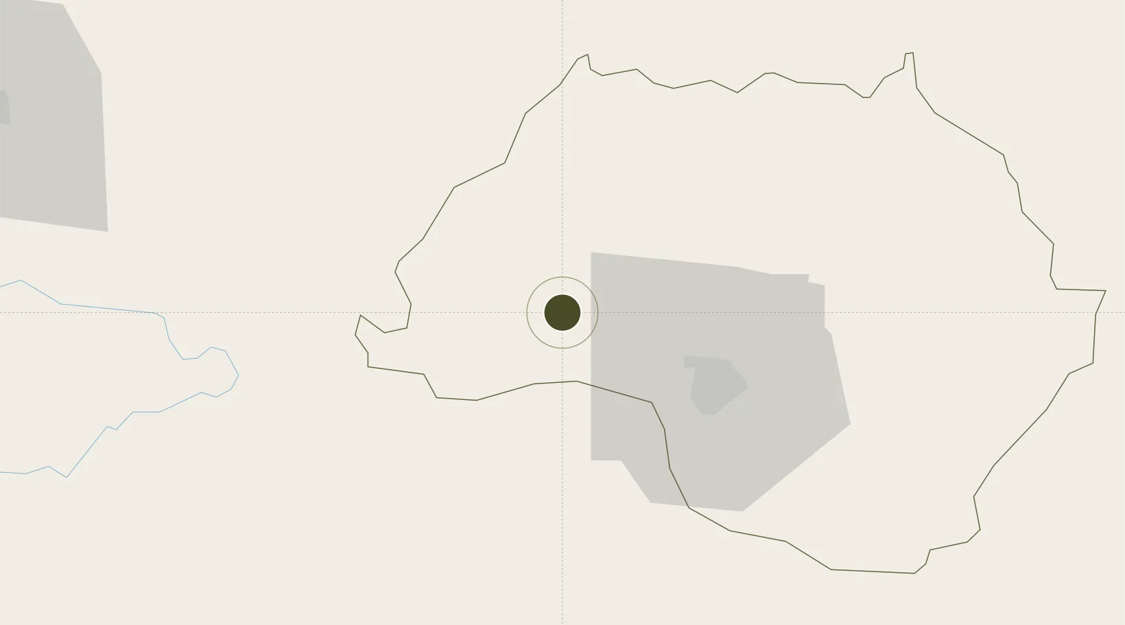
27.8467°, 85.0344°
70 ha
Zone area
676.0 km
Nearest port
36.0 km
Nearest airport

Gateway access

Nearest neighbours — logibook spatial index (haversine) over the source coordinates

Zone profile

Zone type
Diversified Zone
Open Zone Map
Region
Bagmati
Open Zone Map
Status
Under Development
Open Zone Map
Management
Public
Open Zone Map
Operator
Special Economic Zone Authority, Nepal
Open Zone Map
Legal framework
Special Economic Zone Act, 2073 (2016).
Open Zone Map

Location

Location of ozm-2903
Natural Earth 10m (public domain) · Bagmati · ozm-2903 · 27.85, 85.03GoogleOSMYandex

Nearby Logistics Neighbours

Ports
  1. 1Calcutta676 km
  2. 2Haldia Port717 km
  3. 3Mongla754 km
  4. 4Dhamra806 km
  5. 5Paradip859 km
Nearest neighbours — logibook spatial index (haversine) over the source coordinates
Airports
  1. 1Tribhuvan International Airport36 km
  2. 2Bharatpur Airport62 km
  3. 3Simara Airport77 km
  4. 4Pokhara International Airport107 km
  5. 5Pokhara Domestic Airport111 km
Nearest neighbours — logibook spatial index (haversine) over the source coordinates
Cities
  1. 1Birgunj ICD94 km
  2. 2Triveni120 km
  3. 3Sikta Lcs128 km
  4. 4Nawalparasi139 km
  5. 5Bhairahawa161 km
Nearest neighbours — logibook spatial index (haversine) over the source coordinates
Trade Zones
  1. 1Kaspilvastu Special Economic Zone61 km
  2. 2Panchkhal Special Economic Zone64 km
  3. 3Rautahat Special Economic Zone118 km
  4. 4Simara Special Economic Zone122 km
  5. 5Dhangadi Special Economic Zone131 km
Nearest neighbours — logibook spatial index (haversine) over the source coordinates
DatabookThe Record of Consolidated Knowledge
Nepal beyond logistics?
Browse databook

All Sources

Trade ZonesOpen Zone Map
CC BY
Portsthe NGA World Port Index
Public domain (US gov)
AirportsOurAirports
Public domain
LocationsUN/LOCODE
UN/LOCODE — free
← Nepal trade zones